Montmagny, Val-d'Oise
| Montmagny | ||
|---|---|---|
|
The former seminary, in Montmagny | ||
| ||
 Montmagny | ||
|
Location within Île-de-France region 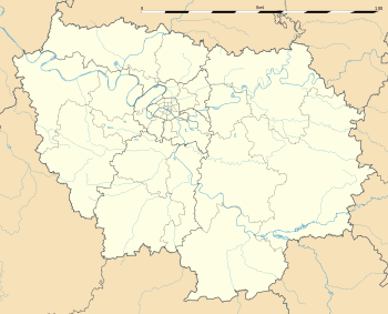 Montmagny | ||
| Coordinates: 48°58′28″N 2°20′48″E / 48.9744°N 2.3467°ECoordinates: 48°58′28″N 2°20′48″E / 48.9744°N 2.3467°E | ||
| Country | France | |
| Region | Île-de-France | |
| Department | Val-d'Oise | |
| Arrondissement | Sarcelles | |
| Canton | Deuil-la-Barre | |
| Intercommunality | Plaine Vallée | |
| Government | ||
| • Mayor (2014–2020) | Patrick Floquet | |
| Area1 | 2.91 km2 (1.12 sq mi) | |
| Population (2013)2 | 13,864 | |
| • Density | 4,800/km2 (12,000/sq mi) | |
| Time zone | CET (UTC+1) | |
| • Summer (DST) | CEST (UTC+2) | |
| INSEE/Postal code | 95427 / 95360 | |
|
1 French Land Register data, which excludes lakes, ponds, glaciers > 1 km² (0.386 sq mi or 247 acres) and river estuaries. 2 Population without double counting: residents of multiple communes (e.g., students and military personnel) only counted once. | ||

.svg.png)
Montmagny is a commune in the Val-d'Oise department in Île-de-France in northern France.
Transport
The north of Montmagny is served by the Gare de Deuil-Montmagny station and the south by the Gare d'Epinay-Villetaneuse station, both on the Transilien Paris – Nord suburban rail network.
See also
References
External links
| Wikimedia Commons has media related to Montmagny, Val-d'Oise. |
- Official website (French)
- Mérimée database - Cultural heritage (French)
- Land use (IAURIF) (English)
This article is issued from Wikipedia - version of the 4/8/2016. The text is available under the Creative Commons Attribution/Share Alike but additional terms may apply for the media files.