Molalatau
| Molalatau | |
|---|---|
| Village | |
 Molalatau | |
| Coordinates: BW 22°04′25″S 28°35′54″E / 22.07369°S 28.59825°ECoordinates: BW 22°04′25″S 28°35′54″E / 22.07369°S 28.59825°E | |
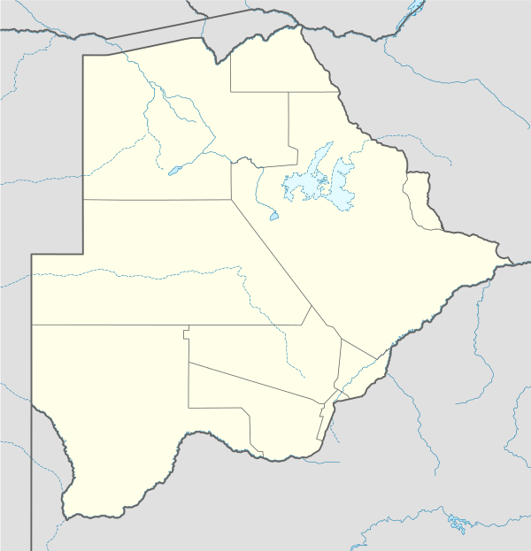
| Country | Botswana |
| District | Central District |
| Sub-District | Bobirwa |
Molalatau is a village in Central District of Botswana. It is located in the eastern tip of Botswana, within 100 km distance of borders with Zimbabwe and South Africa. The population was 1,788 in 2001 census.[1] There are no major economic activities in the village since the people are subsistence farmers.
Molalatau is named after a river which runs along the northern part of the village and is located about 20 km from Bobonong village which is home to the sub-district administration centre. The residents of Molalatau are Babirwa and they speak a parlance called sebirwa - they formerly originate from the far eastern tip of the country in the area around the confluence of Limpopo-Motloutse rivers. They were forcefully removed from this area by the colonial administration to given way to the British South Africa Company which was allocated the land stretching the length of Limpopo river within Botswana by Khama III.
These people were led to this land by chief Malema after he had a bitter disagreement with the colonial government operating from Serowe.
References
- ↑ "Distribution of population by sex by villages and their associated localities: 2001 population and housing census". Archived from the original on 2007-11-24. Retrieved 2008-01-08.