Mohawk Mountains
| Mohawk Mountains | |
|---|---|
 Low clouds on the Mohawk Mountains | |
| Highest point | |
| Peak | Unnamed |
| Elevation | 2,776 ft (846 m) |
| Dimensions | |
| Length | 30 mi (48 km) NW–SE |
| Width | 5 mi (8.0 km) |
| Geography | |
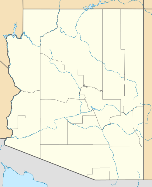 Mohawk Mountains in Arizona | |
| Country | United States |
| State | Arizona |
| Region | Central & Northwestern Sonoran Desert |
| District | Yuma County |
| Settlement |
Mohawk, AZ–Tacna, AZ Growler, AZ |
| Range coordinates | 32°37′N 113°40′W / 32.62°N 113.67°WCoordinates: 32°37′N 113°40′W / 32.62°N 113.67°W |
| Borders on |
Gila River (N) San Cristobal Valley (NE) Mohawk Valley (SW) Bryan Mountains (SE) |
| Wikimedia Commons has media related to Mohawk Mountains. |
The Mohawk Mountains (Maricopa: Vii Kachkwiny) is a mountain range in the northwest Sonoran Desert of southwest Arizona. It abuts the western Gila River valley to the north (the Lower Gila River Valley), and is located in southern Yuma County, Arizona and is part of an eleven mountain range–three valley region. The Mohawk Valley lies adjacent and southwest of the range; the San Cristobal Valley is northeast.
The Mohawk Mountains-Bryan Mountains is a northwest-southeast trending block faulted system. Mohawk, Arizona on Interstate 8 is located on the north end of the range; Mohawk Pass traverses the range with the interstate route.
The highest point in the Mohawk Range is unnamed at 2,776 feet (846 m).
See also
- Valley and range sequence-Southern Yuma County
- List of mountain ranges of Yuma County, Arizona
- List of mountain ranges of Arizona
External links
- High Altitude view of Mohawk Mountains and Mohawk Valley (Arizona) ; high-definition aerial view - The green Gila River Valley on right, view northwest: shows Sierra Pinta, Cabeza Prieta Mountains and Copper Mountains; narrow Gila Mountains (Yuma County) at distance.
At extreme right bottom is the north end of the Granite Mountains (Arizona), and the large mountain range northwest of it, the Mohawk Mountains.
|
|
This article is issued from Wikipedia - version of the 3/3/2016. The text is available under the Creative Commons Attribution/Share Alike but additional terms may apply for the media files.