Moczydłów
| Moczydłów | |
|---|---|
| Village | |
 Moczydłów | |
| Coordinates: 52°0′N 21°11′E / 52.000°N 21.183°E | |
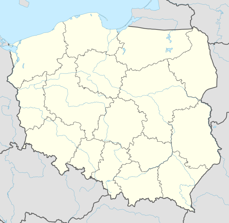
| Country |
|
| Voivodeship | Masovian |
| County | Piaseczno |
| Gmina | Góra Kalwaria |
Moczydłów [mɔˈt͡ʂɨdwuf] is a village in the administrative district of Gmina Góra Kalwaria, within Piaseczno County, Masovian Voivodeship, in east-central Poland.[1] It lies approximately 4 kilometres (2 mi) north-west of Góra Kalwaria, 14 km (9 mi) south-east of Piaseczno, and 28 km (17 mi) south-east of Warsaw.
References

Coordinates: 52°0′N 21°11′E / 52.000°N 21.183°E
This article is issued from Wikipedia - version of the 9/17/2013. The text is available under the Creative Commons Attribution/Share Alike but additional terms may apply for the media files.