Minto City
| Minto City Minto, Minto Mine, Minto Mines | |
|---|---|
| Company town | |
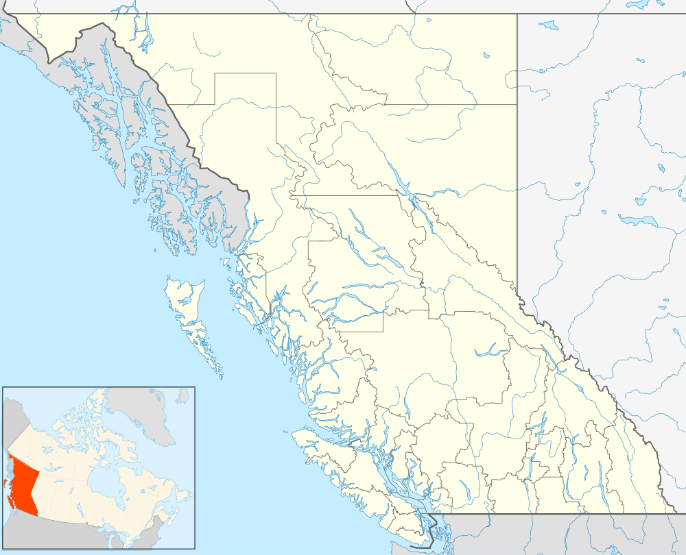 Minto City Location of Minto City in British Columbia | |
| Coordinates: 50°53′27″N 122°46′40″W / 50.89083°N 122.77778°WCoordinates: 50°53′27″N 122°46′40″W / 50.89083°N 122.77778°W | |
| Country |
|
| Province |
|
Minto City, often called just Minto, sometimes Minto Mines or Minto Mine, was a gold mining town in the Bridge River Valley of British Columbia from 1930 to 1936, located at the confluence of that river with Gun Creek, one of its larger tributaries. It was first called the Alpha group of claims in the 1920s, when underground miners were exploring the seams of Cadwallader Creek and the origins of the placer deposits downstream in the Bridge River. The mine prospect was never much successful although a model townsite was built by promoter "Big Bill" Davidson, who imported soil to build a specially-built rodeo ground and baseball diamond on the rocky site. The larger mine of Bralorne was nearby. The mine shut down in 1936 due to productivity issues, but restarted in 1940. The valley has since been significantly altered when most of the vestiges of the town were inundated by the waters of the Carpenter Lake reservoir following completion of the Bridge River Power Project. The town sat on the western end of the lake near the present Carpenter Lake Road (a section of BC Road 40), part of the road drove through a wooden Tudor arch built into the rock mill.
Minto Mine
The Minto Mine operated from 1934 to 1940 during which over 2130 metres of underground work was done, and a total of 80,650 tonnes (88,900 tons) of ore grading 6.8 grams pf gold and 19.9 grams of silver per tonne was produced, totalling 546 kilograms (17,558 ounces) of gold and 1,573 kilograms (50,582) ounces of silver 9,673 kilograms of copper and 56,435 kilograms of lead.[1][2]
By the opening of World War II, the combination of poor mineral showings and most men going away to war brought the Minto mine to a standstill, but as of 1941 Minto was one of four locations in the Bridge River-Lillooet which were used for Japanese-Canadian relocation centres. During this period, the Japanese-Canadian presence transformed the town, which soon had vegetable and flower gardens, with the town's crops becoming a source of produce for the larger mining towns nearby. Many gold mines in BC were idled in the 1942-45 period as they were deemed non-essential to the war effort, and the miners were moved to strategic metal copper, tungsten, mercury, lead and zinc production. Several of the mines, including Minto did not survive the enforced shutdown.
The town was mostly abandoned and derelict in the wake of a disastrous flash flood in 1949, although the town's hotel and bar remained open until the end. The Minto Hotel was moved before the 1951 inundation by Carpenter Lake to Gold Bridge, where it operated as the Gold Bridge Hotel until burning down (a newer modern building stands on the site). At the site of Minto, there is a public campground and picnic site on the alluvial fan of Gun Creek, which is on higher ground than the old townsite. At low water, Minto's old street grid and some building foundations can still be seen, as well as the roadbed of the original Bridge River Road.
"Cascadia Burn"
In recent years, the Gun Creek Campground has been the site of an art and performance festival modelled on the famous Burning Man event in Nevada. The 2013 incarnation of the event drew 60 participants, began on June 16 and ran through until the summer solstice, where the central art installation "Baboon Robot" was burned as the event's finale.[3]
References
Further reading
- The Great Years: Gold Mining in the Bridge River Valley, Lewis Green
- Short Portage to Lillooet, Irene Edwards (self-publ.)
- Bridge River Gold, Emma de Hullu (self-publ.)