Minnesota Drive Expressway
| Minnesota Drive Expressway | |
|---|---|
| Spenard Thruway | |
| Route information | |
| Maintained by Alaska DOT&PF and MATD | |
| Length: | 7.560 mi[1] (12.167 km) |
| Existed: | c. 1950[2] – present |
| Major junctions | |
| South end: | Old Seward Highway in Anchorage |
| North end: | West 15th Avenue in Anchorage |
| Location | |
| Boroughs: | Municipality of Anchorage |
| Highway system | |
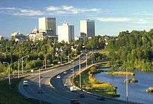
The Minnesota Drive Expressway is a 7.560 miles (12.167 km) long south-north expressway located in the city of Anchorage, Alaska, United States. The expressway includes a small portion of O'Malley Road, which is also built to expressway standards. The highway travels from the southern region of Anchorage northward to North Star neighborhood area, and bisects the community of Spenard. The first section of the highway was constructed around 1950, and the entire highway was upgraded to expressway standards by the year of 1985. The entire length of the expressway is listed on the National Highway System,[3] a network of roads important to the country's economy, defense, and mobility.[4]
Route description
The route begins where O'Malley Road intersects the Old Seward Highway. At this point, the route is heading directly west, even though the expressway is south-north. O'Malley Road is, at this point, a four-lane, paved, asphalt road. That intersection is the last at-grade intersection on O'Malley Road. From there, the expressway continues on for about 0.7 miles (1.1 km), passing under a set of railroad tracks, before reaching its first exit, for C Street.[1] The highway passes over C Street and continues past a few small properties before curling north and becoming renamed Minnesota Drive.[5] Almost immediately after the turn is the exit for 100th Avenue.[6] The highway passes over 100th Avenue, and continues past a large neighborhood. The expressway continues, reaching an incomplete interchange with Dimond Boulevard, where the expressway's frontage roads terminate.[5] The highway continues past several large neighborhoods, with an exit for the neighborhoods on the western side of the highway.[7] The roadway continues northward, interchanging with Raspberry Road and passing over a small hiking trail.[6]
The expressway passes a large industrial area before interchanging with International Airport Road, which provides access to Ted Stevens Anchorage International Airport.[5] The highway passes over a railroad track, continues past a large industrial area and a large neighborhood, before reaching an at-grade intersection with Tudor Road, which marks the end of the main controlled-access section of the expressway.[6] The roadway intersects several small roads, and passes numerous small businesses, before intersecting with Spenard Road.[5] The highway continues past several more businesses, intersecting several small roads, including Benson Boulevard and Northern Lights Boulevard, before being upgraded to freeway standards.[7] The expressway passes two small lakes, with a southbound exit for Hillcrest Drive, which provides access to West Anchorage High School.[8] The highway continues northward, merging with Spenard Road and passing a small neighborhood, before intersecting 15th Avenue, where the expressway terminates.[1] The road continues northward as I Street (northbound) and L Street (southbound).[6]
Traffic
Traffic on the Minnesota Drive Expressway is very high, with a yearly average of approximately 260,000.[1] Daily traffic for the expressway varies greatly, with the highest count being the interchange with International Airport Road, with an average of 47,157,[5] while the lowest count is where O'Malley Road becomes Minnesota Drive, with a daily average of 22,209.[5]
History
The Minnesota Drive Expressway was first created circa 1950, when the Spenard Road was built in the location of the current highway.[9] By 1962, a highway existed from the northern terminus southward to Dimond Boulevard.[10] By 1983, most portions of the highway had been created,[11] and by 1985, the highway had been fully completed.[12][13] The entire length of the highway was upgraded to expressway standards between 1989 and 2008.[11]
In 2012 the highway was designated the Walter J. Hickel Expressway in honor of the former governor.
Major junctions
The entire route is in the Municipality of Anchorage. All exits are unnumbered.
| mi[1][7] | km | Destinations | Notes | ||
|---|---|---|---|---|---|
| 0.000 | 0.000 | Old Seward Highway / O'Malley Road east | At-grade intersection; O'Malley Road continues east | ||
| 0.200 | 0.322 | South end of Minnesota Drive Expressway | |||
| 0.500 | 0.805 | Lang Street | Southbound entrance only | ||
| 0.760 | 1.223 | C Street | |||
| 1.730 | 2.784 | West 100th Avenue | Southern end of frontage roads | ||
| 2.300 | 3.701 | Dimond Boulevard | No northbound exit | ||
| 3.300 | 5.311 | Strawberry Road | Southbound exit only | ||
| 3.830 | 6.164 | Raspberry Road | |||
| 4.740 | 7.628 | International Airport Road – Anchorage International Airport | |||
| 5.360 | 8.626 | North end of Minnesota Drive Expressway | |||
| 5.360 | 8.626 | Tudor Road | At-grade intersection | ||
| 5.780 | 9.302 | Spenard Road | At-grade intersection | ||
| 6.260 | 10.074 | Benson Boulevard | One-way (east) | ||
| 6.370 | 10.252 | Northern Lights Boulevard | One-way (west) | ||
| 6.500 | 10.461 | South end of Spenard Thruway | |||
| 6.730 | 10.831 | Hillcrest Drive | Southbound exit only; access to West Anchorage High School | ||
| 7.330 | 11.796 | Spenard Road | Northbound entrance only | ||
| 7.560 | 12.167 | West 15th Avenue / I Street | Northern terminus | ||
| 1.000 mi = 1.609 km; 1.000 km = 0.621 mi | |||||
References
- 1 2 3 4 5 Wit, Jennifer W. (2010). Annual Traffic Volume Report (PDF) (Report) (2008-2009-2010 ed.). Alaska Department of Transportation & Public Facilities. pp. III–58 – III–59. Retrieved 2 Apr 2012.
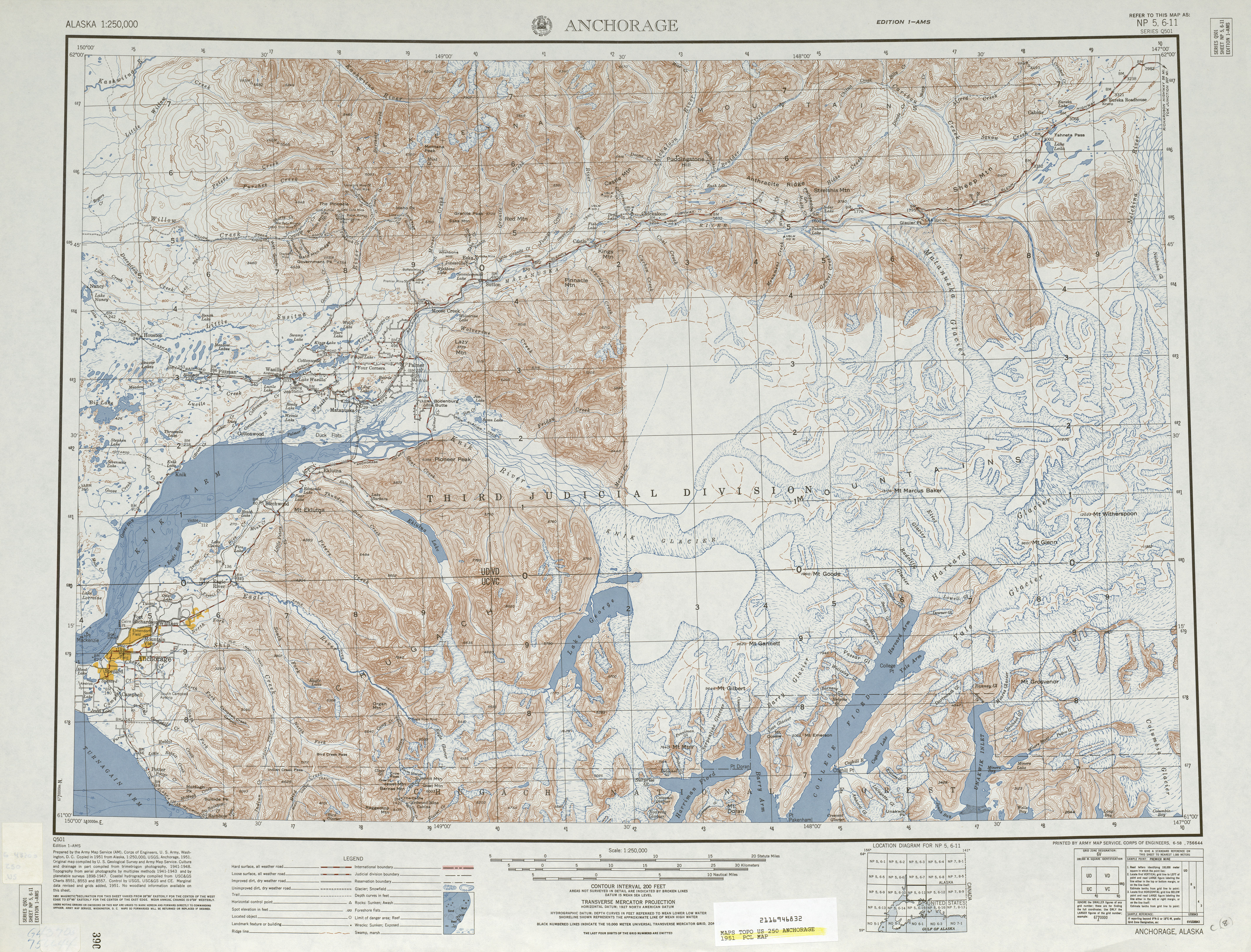
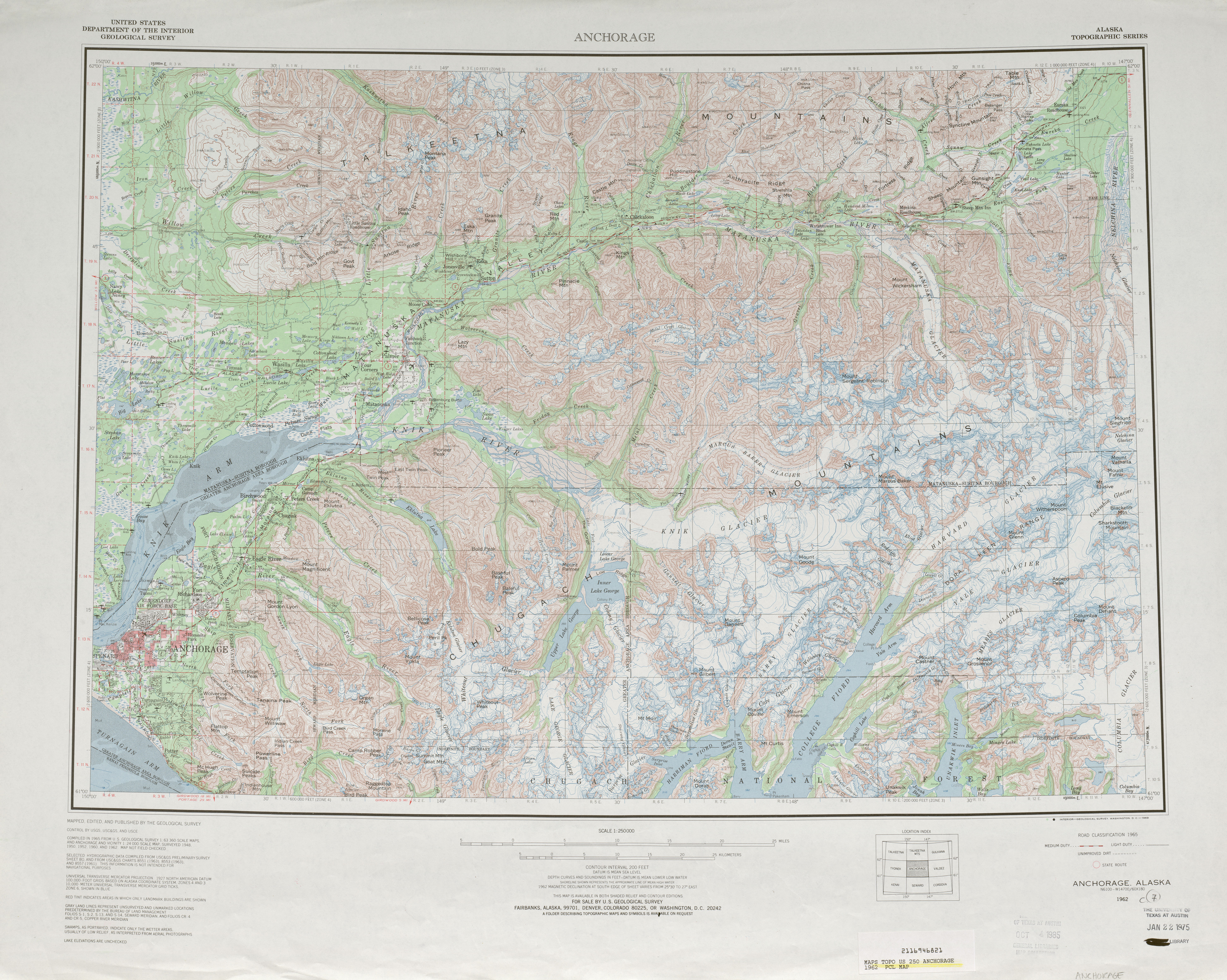
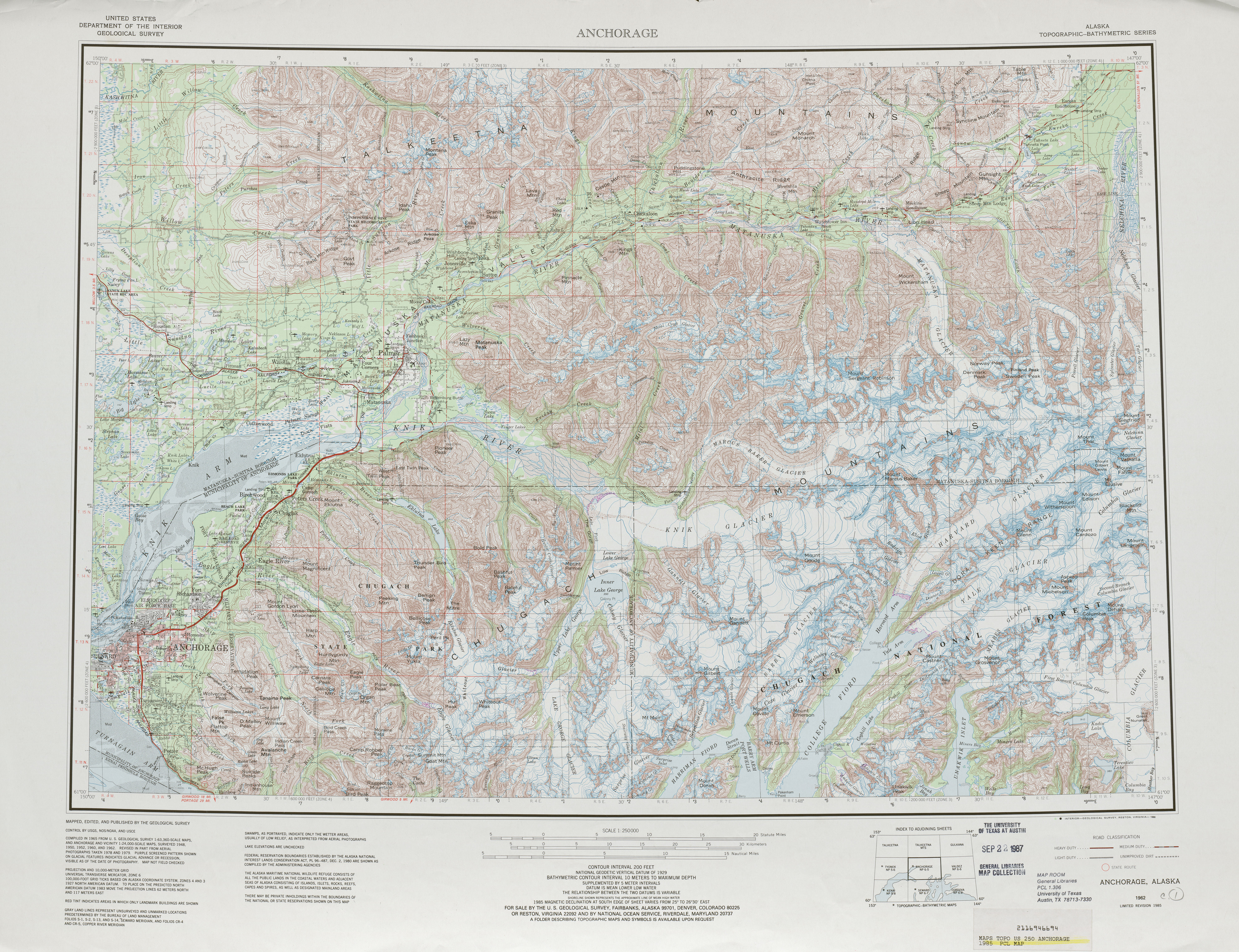
- ↑ "Map of Alaska" (JPG) (Map). lib.utexas.edu. Cartography by United States Geological Survey. United States Department of the Interior. Anchorage inset. Retrieved 2 May 2012.
- ↑ "National Highway System: Anchorage AK" (PDF) (Map). fhwa.dot.gov. Federal Highway Administration. March 2005. Retrieved May 3, 2012.
- ↑ Adderley, Kevin (4 Apr 2011). "The National Highway System". Planning, Environment, & Realty. Federal Highway Administration. Retrieved 3 May 2012.
- 1 2 3 4 5 6 "Anchorage Traffic Map" (PDF) (Map). dot.state.ak.us. Alaska Department of Transportation and Public Facilities. Retrieved 2 May 2012.
- 1 2 3 4 "Alaska Activity Map" (PDF) (Map). alaskaactivityguide.journalgraphicsdigital.com. Alaska Activity Guide. Retrieved 3 May 2012.
- 1 2 3 Google (March 14, 2012). "Overview Map of Minnesota Drive/West O'Malley Road" (Map). Google Maps. Google. Retrieved March 14, 2012.
- ↑ "Anchorage Map" (JPG) (Map). frommers.com. Frommer's. Retrieved 3 May 2012.
- ↑ "History of Spenard". spenard.biz. Spenard Chamber of Commerce. Retrieved 2 May 2012.
- ↑ "Map of Alaska" (JPG) (Map). lib.utexas/edu. Cartography by United States Geological Survey. United States Department of the Interior. Anchorage inset. Retrieved 2 May 2012.
- 1 2 "Design & Construction Standards—Highway Safety Improvement Program (HSIP)—Central Region Projects & Status—Anchorage Area". dot.state.ak.us. Alaska Department of Transportation & Public Facilities. Retrieved 3 May 2012.
- ↑ "Map of Alaska" (JPG) (Map). lib.utexas.edu. Cartography by United States Geological Survey. United States Department of the Interior. Anchorage inset. Retrieved 3 May 2012.
- ↑ Bridges Department. 2009 Bridge Inventory (PDF). dot.state.ak.us (Report). Alaska Department of Transportation & Public Facilities. Retrieved 3 May 2012.