Milby

Coordinates: 54°06′17″N 1°23′08″W / 54.104790°N 1.385620°W
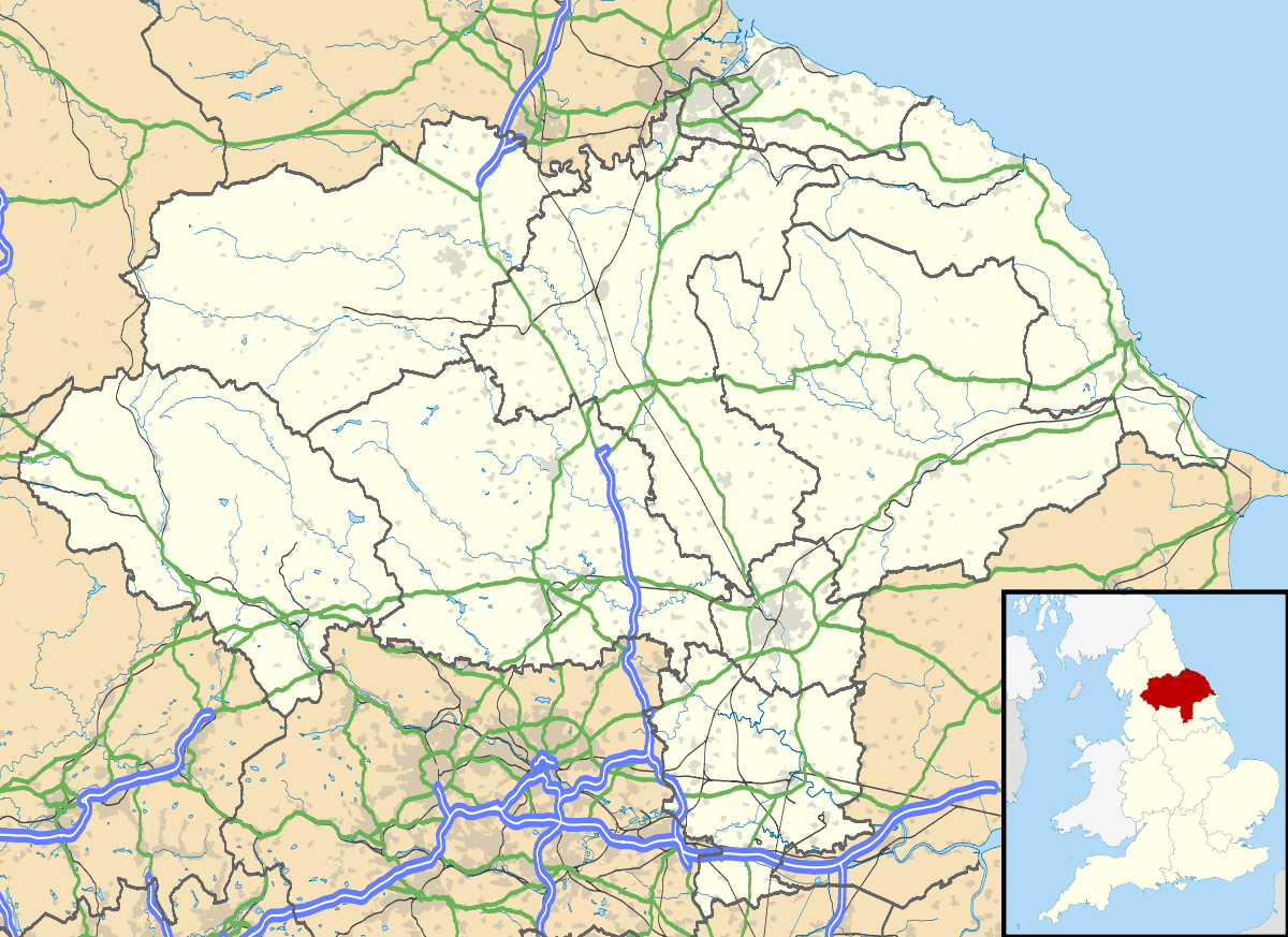
Milby is a hamlet and civil parish in the Harrogate district of North Yorkshire, England. It is situated to the immediate north of Boroughbridge.
History
The Roman road, Dere Street crossed the River Ure at Milby. Until the mid 19th century, the old wooden bridge remains could still be seen.[1]
The village is mentioned in the Domesday Book as Mildebi in the Hallikeld hundred. The lands were the possession of the Crown both before and after the Norman invasion.[2]
Milby was historically a township in the North Riding of Yorkshire, divided between the parishes of Aldborough and Kirby Hill.[3] It became a separate civil parish in 1866.[4] In 1974 Milby was transferred from the North Riding to the new county of North Yorkshire.
The Pilmoor, Boroughbridge and Knaresborough Railway, a branch line of the North Eastern railway, ran through the parish. The line ran from Pilmoor Junction on the East Coast Main Line near Easingwold to Knaresborough via Boroughbridge. Opened in 1847, it closed in 1964. The Old Station House is a Grade II Listed Building[1][5][6][7]
Governance
The village lies within the Skipton and Ripon UK Parliament constituency. It is also within the Boroughbridge electoral division of North Yorkshire County Council and the Newby ward of Harrogate Borough District Council.[8] The local Parish Council has nine members.[9]
Geography

The nearest settlements are Boroughbridge 0.8 miles (1.3 km) to the south; Langthorpe 0.8 miles (1.3 km)to the south west; and Kirby Hill 0.9 miles (1.4 km) to the north west.[8]
The village lies on the north bank of the River Ure. In order to make the river navigable past the weir at Boroughbridge, a three-quarter mile cut was made from Milby, including a set of locks, to Langthorpe.[1][8]
The 2001 UK Census recorded the population as 162 of which 123 were over the age of sixteen years and 105 of those were in employment. There were 62 dwellings of which 40 were detached. [10] The 2011 Census gave the population as 184.[11]
References
- 1 2 3 Bulmer's Topography, History and Directory (Private and Commercial) of North Yorkshire 1890. S&N Publishing. 1890. p. 734. ISBN 1-86150-299-0.
- ↑ Milby in the Domesday Book. Retrieved 1 January 2013.
- ↑ The ancient parish of Aldborough: historical and genealogical information at GENUKI.
- ↑ Vision of Britain website
- ↑ "Listed Building". Retrieved 1 January 2013.
- ↑ "Parish History". Retrieved 1 January 2013.
- ↑ "Local History" (PDF). Retrieved 1 January 2013.
- 1 2 3 Ordnance Survey Open Viewer
- ↑ "Parish Council". Retrieved 1 January 2013.
- ↑ "2001 UK Census". Retrieved 1 January 2013.
- ↑ "Parish population 2011". Retrieved 6 August 2015.
External links
![]() Media related to Milby at Wikimedia Commons
Media related to Milby at Wikimedia Commons