Michikan Lake
| Michikan Lake | |
|---|---|
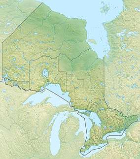 Michikan Lake Location in Ontario | |
| Location | Kenora District, Ontario |
| Coordinates | 53°55′08″N 90°58′59″W / 53.91889°N 90.98306°W |
| Part of | Hudson Bay drainage basin |
| Basin countries | Canada |
| Max. length | 6.5 km (4.0 mi) |
| Max. width | 2.5 km (1.6 mi) |
| Surface elevation | 226 m (741 ft)[1] |
| References | [2] |
Michikan Lake is a lake in Kenora District in northwestern Ontario, Canada.[2] It is in the Hudson Bay drainage basin.
The main inflow is an unnamed river at the west. A secondary inflow is an unnamed river at the north. The major outflow, at the southeast, is an unnamed channel to the Severn River, which flows to Hudson Bay.
The lake is the home of the Bearskin Lake First Nation main settlements,[3] which relocated from Bearskin Lake 50 kilometres (31 mi) to the southwest in the 1930s, and is partly encompassed by their Bearskin Lake Indian Reserve.[4]
References
- ↑ Taken from Google Earth at geographic coordinates. Accessed 2016-03-10.
- 1 2 "Michikan Lake". Geographical Names Data Base. Natural Resources Canada. Retrieved 2016-03-10.
- ↑ "Bearskin Lake". Geographical Names Data Base. Natural Resources Canada. Retrieved 2016-03-10. (Bearskin Lake settlement)
- ↑ "Bearskin Lake". Geographical Names Data Base. Natural Resources Canada. Retrieved 2016-03-10. (Bearskin Lake reserve)
See also
This article is issued from Wikipedia - version of the 3/11/2016. The text is available under the Creative Commons Attribution/Share Alike but additional terms may apply for the media files.