Matakong
| Matakong, Forécariah Prefecture | |
|---|---|
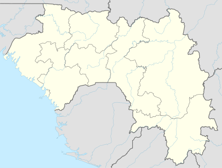 Matakong, Forécariah Prefecture Location in Guinea | |
| Coordinates: 09°16′20″N 13°25′20″W / 9.27222°N 13.42222°WCoordinates: 09°16′20″N 13°25′20″W / 9.27222°N 13.42222°W | |
| Country | Guinea |
| Prefecture | Forécariah Prefecture |
| Elevation | 3 ft (1 m) |
Matakong is an island just off the coast of Guinea between the capital Conakry and the Sierra Leone border.
Nomenclature
Matakong is also called Matakan.
Transport
Matakong is the proposed port terminus of the heavy duty standard gauge Transguinean Railways linking large iron and bauxite deposits to the coast. The proposed Bellzone iron ore mine at Kalia may also share this railway line.[1]
New port
A new deep water port is needed because, firstly, the port at Conakry is built out and there is no room, and secondly, because a new port at Matakong has better access though flatter ground to the hinterland.
A 20 km pier may be needed to reach deepwater.
See also
- Transport in Guinea
- Railway stations in Guinea
- List of deep water ports
References
External links
This article is issued from Wikipedia - version of the 3/24/2015. The text is available under the Creative Commons Attribution/Share Alike but additional terms may apply for the media files.