Mapimí Municipality
| Mapimí | |
|---|---|
| Municipality | |
 Municipality of Mapimí in Durango | |
|
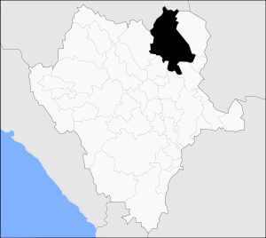
Mapimí Location in Mexico | |
| Coordinates: 26°14′6″N 104°29′14″W / 26.23500°N 104.48722°WCoordinates: 26°14′6″N 104°29′14″W / 26.23500°N 104.48722°W | |
| Country |
|
| State | Durango |
| Municipal seat | Mapimí |
| Area | |
| • Total | 7,126.7 km2 (2,751.6 sq mi) |
| Population (2010) | |
| • Total | 25,137 |
| • Density | 3.5/km2 (9.1/sq mi) |
| Website | www.mapimi.gob.mx |
Mapimí is one of the 39 municipalities of Durango, in north-western Mexico. The municipal seat lies at Mapimí. The municipality covers an area of 7,126.7 km².
In 2010, the municipality had a total population of 25,137,[1] up from 22,940 in 2005.[2]
In 2010, the town of Mapimí had a population of 5,623.[1] Other than the town of Mapimí, the municipality had 283 localities, the largest of which (with 2010 populations in parentheses) were: Bermejillo (9,149) and Ceballos (3,730), classified as urban.[1]
Located in the northeastern portion of the state, it borders the municipalities of Lerdo, Gómez Palacio, Tlahualilo, Villa Hidalgo, San Pedro del Gallo, San Luis del Cordero and Nazas.
See also
- Mapimí Silent Zone, an alleged area of radio silence located in the region.
References
- 1 2 3 "Mapimí". Catálogo de Localidades. Secretaría de Desarrollo Social (SEDESOL). Retrieved 23 April 2014.
- ↑ "Mapimí". Enciclopedia de los Municipios de México. Instituto Nacional para el Federalismo y el Desarrollo Municipal. Retrieved November 10, 2008.
See also

Glassy calcite rhombs with inclusions of fibrous aurichalcite, Ojuela Mine. Size: 4.7 x 4.1 x 2.3 cm.

This article is issued from Wikipedia - version of the 7/1/2014. The text is available under the Creative Commons Attribution/Share Alike but additional terms may apply for the media files.