Manzano Peak
| Manzano Peak | |
|---|---|
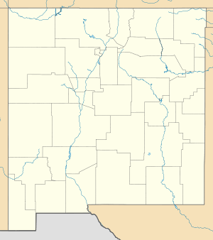 Manzano Peak Location in New Mexico | |
| Highest point | |
| Elevation | 10,098 ft (3,078 m) [1] |
| Prominence | 3,238 ft (987 m) [1] |
| Coordinates | 34°35′27″N 106°26′48″W / 34.5908948°N 106.4466858°WCoordinates: 34°35′27″N 106°26′48″W / 34.5908948°N 106.4466858°W [2] |
| Geography | |
| Location | Torrance County, New Mexico, U.S. |
| Parent range | Manzano Mountains |
| Topo map | USGS Manzano Peak |
| Climbing | |
| Easiest route | Hike |
Manzano Peak is the highest peak in the Manzano Mountains, a mountain range in the central part of the US State of New Mexico. It lies 7 miles (11 km) southwest of the town of Manzano and 18 miles (29 km) east-southeast of the town of Belen, in the Manzano Wilderness Area, part of the Mountainair Ranger District of the Cibola National Forest. It forms the striking southern anchor of the range, rising 3,900 feet (1,189 m) in 3 miles (5 km) above its western base.[3] The summit is below the tree line, but has views to the east, south, and west.
Manzano Peak can be accessed via trail number 80 (the Kayser Trail), leading to the Crest Trail (number 170), from a trailhead on the east side of the range.
References
- 1 2 "Manzano Peak, New Mexico". Peakbagger.com. Retrieved 2009-01-24.
- ↑ "Manzano Peak". Geographic Names Information System. United States Geological Survey. Retrieved 2009-01-24.
- ↑ Butterfield, Mike; Greene, Peter (2006). Mike Butterfield's Guide to the Mountains of New Mexico. New Mexico Magazine Press. ISBN 978-0-937206-88-1.
External links
- "Cibola National Forest". U.S. Forest Service.
- "Manzano Peak". SummitPost.org.
- Manzano Peak quadrangle, New Mexico (Map). 1:24000. 7.5 Minute Topographic. USGS.
This article is issued from Wikipedia - version of the 5/26/2015. The text is available under the Creative Commons Attribution/Share Alike but additional terms may apply for the media files.