Mandume, Angola
| Mandume Dumbo | |
|---|---|
| village | |
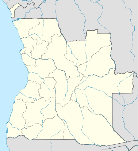 Mandume Location in Angola | |
| Coordinates: 14°03′S 17°26′E / 14.050°S 17.433°ECoordinates: 14°03′S 17°26′E / 14.050°S 17.433°E[1] | |
| Country | Angola |
| Province | Bié Province |
| Municipality | Chitembo |
| Commune | Mumbue[2] |
| Elevation | 1,457 m (4,780 ft) |
| Time zone | WAT (UTC+1) |
| Area code(s) | (+244) 48 |
Mandume (Dumbo[3]) is a village in Bié Province, Angola, in southwestern Africa.[4] It sits at an elevation of 1,481 metres (4,859 ft) in a seasonally swampy area on a tributary of the Cuelei River.[1]
It was a strong point of the People's Movement for the Liberation of Angola during the Angolan War of Independence.[5]
Notes
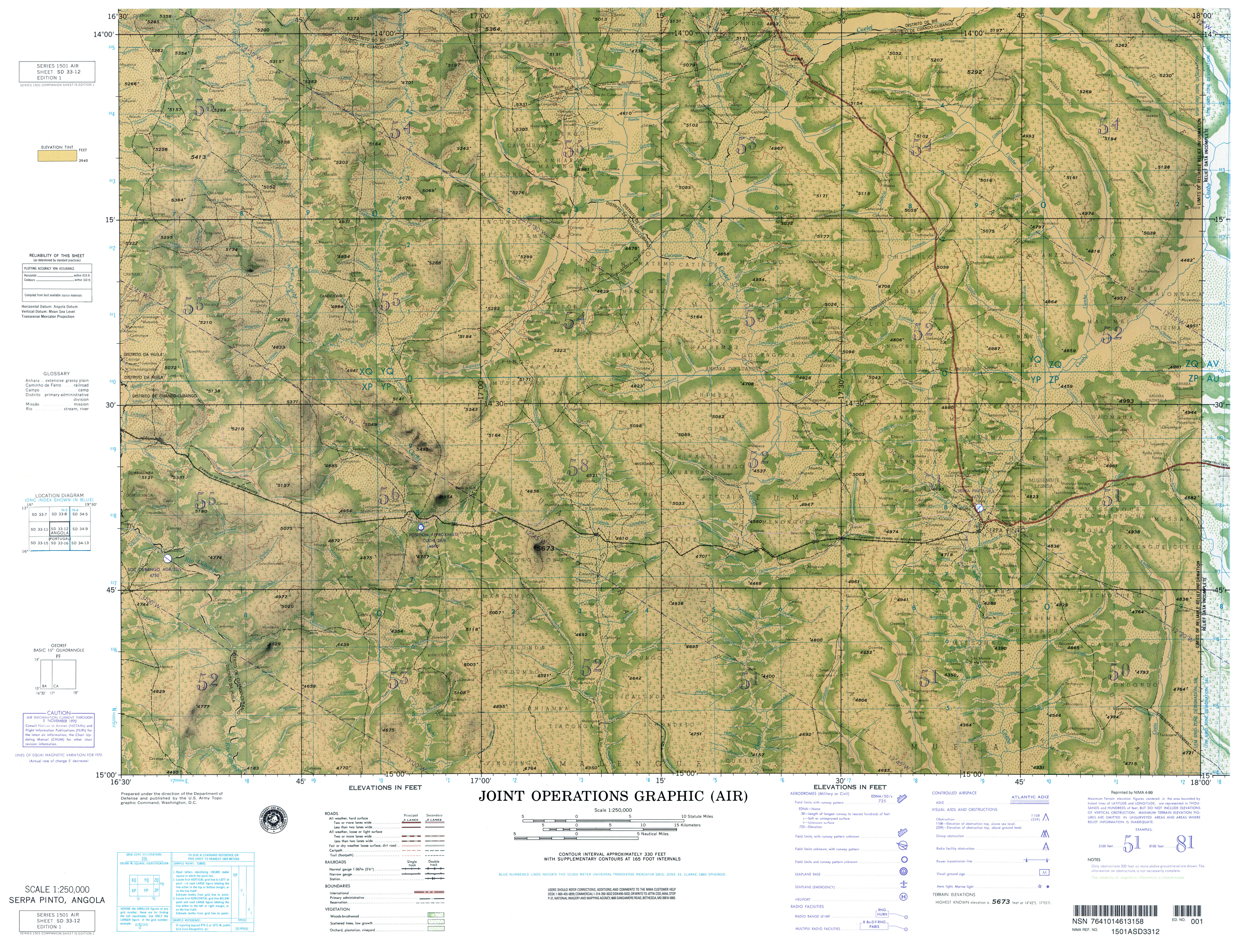
- 1 2 Joint Operations Graphic (Air) SD 33-12, Serpa Pinto, Angola (Map) (1 (NIMA reprint April 1999) ed.). 1:250,000. U.S. Army Topograpgic Command.
- ↑ "Mumbue". ikiMap. Archived from the original on 27 April 2014.
- ↑ Dumbo (Variant) at GEOnet Names Server, United States National Geospatial-Intelligence Agency
- ↑ Mandume (Approved) at GEOnet Names Server, United States National Geospatial-Intelligence Agency
- ↑ Movimento Popular de Libertação de Angola (MPLA) (1972). Angola in Arms: Organ of Information and Combat of the People's Movement for the Liberation of Angola, Volume 3. Dar-es-Salaam: Movimento Popular de Libertação de Angola (MPLA). p. 87.
This article is issued from Wikipedia - version of the 2/7/2016. The text is available under the Creative Commons Attribution/Share Alike but additional terms may apply for the media files.