Malay Falls, Nova Scotia
| Malay Falls, Nova Scotia | |
|---|---|
| Rural Community | |
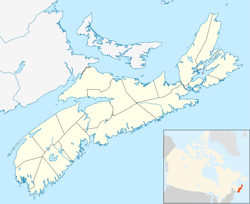 Malay Falls, Nova Scotia Location in Nova Scotia | |
| Coordinates: 44°58′29.8″N 62°28′59.4″W / 44.974944°N 62.483167°WCoordinates: 44°58′29.8″N 62°28′59.4″W / 44.974944°N 62.483167°W | |
| Country | Canada |
| Province | Nova Scotia |
| Municipality | Halifax Regional Municipality |
| Community Council | Harbour East - Marine Drive Community Council |
| District | District 2 Preston - Chezzetcook - Eastern Shore |
| Government | |
| • Type | Municipal |
| • Mayor | Mike Savage |
| • Councillor | David Hendsbee |
| Time zone | Atlantic Standard Time (UTC-4) |
| • Summer (DST) | Atlantic Daylight Saving Time (UTC-3) |
| Canadian postal code | B0J 3B0 |
| North American Area Code | 902 |
| GNBC Code | CAXHX |
| NTS Map | 011D16 |
| Weather Station Code | CXMY |
| Rural Route | RR 2 |
| Highway |
|
Malay Falls is a small rural community located in the Halifax Regional Municipality in the Canadian province of Nova Scotia.[1] The community is located inland from the Atlantic Ocean, along the Malay Falls Flowage, a flowage of East River Sheet Harbour.[2][3] The community is also located primarily along Route 374, as well as some by-roads.[4] There is a weather station in Malay Falls, which is run by the Government of Canada.[5]
 |
Lochaber Mines, Nova Scotia Trafalgar, Nova Scotia Via |
| ||
| |
||||
| ||||
| | ||||
| Sheet Harbour, Nova Scotia Via To |
References
- ↑ "Explore HRM". Halifax Regional Municipality. Retrieved 1 December 2016.
- ↑ "Malay Falls Flowage". Natural Resources Canada. Retrieved 6 November 2016.
- ↑ "East River Sheet Harbour". Natural Resources Canada. Retrieved 1 December 2016.
- ↑ "Google Maps". Google. Retrieved 1 December 2016.
- ↑ "Malay Falls, NS". Government of Canada. Retrieved 1 December 2016.
This article is issued from Wikipedia - version of the 12/1/2016. The text is available under the Creative Commons Attribution/Share Alike but additional terms may apply for the media files.