Makhaleng
| Makhaleng | |
|---|---|
| Constituency | |
 Geographic Center of Constituency | |
| Coordinates: 29°41′59″S 27°43′32″E / 29.69972°S 27.72556°E | |
| Country |
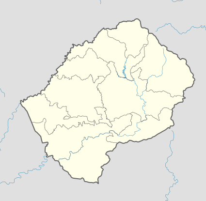
|
| District | Maseru District |
| Population (2006) | |
| • Total | 21,269 |
| Time zone | CAT (UTC+2) |
| Coordinates computed from Lesotho Villages file.[1] | |
Makhaleng is a constituency located in the Maseru District of Lesotho. Its population in 2006 was 21,269.[2]
Community Councils
The constituency of Makhaleng includes the communities of:[3]
References
- ↑ Google Earth Download Site Retrieved 2010-07-21.
- ↑ Lesotho Bureau of Statistics, 2006, Census Pre Results
- ↑ Lesotho Bureau of Statistics, 2006, Village List
This article is issued from Wikipedia - version of the 3/21/2013. The text is available under the Creative Commons Attribution/Share Alike but additional terms may apply for the media files.