Monti della Meta
| Monti della Meta | |
|---|---|
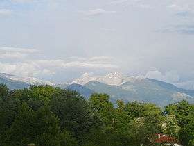 Monte Meta seen from Picinisco | |
| Highest point | |
| Elevation |
2,249 m (7,379 ft) Monte Petroso |
| Coordinates | 41°40′55″N 13°54′45″E / 41.68194°N 13.91250°ECoordinates: 41°40′55″N 13°54′45″E / 41.68194°N 13.91250°E |
| Geography | |
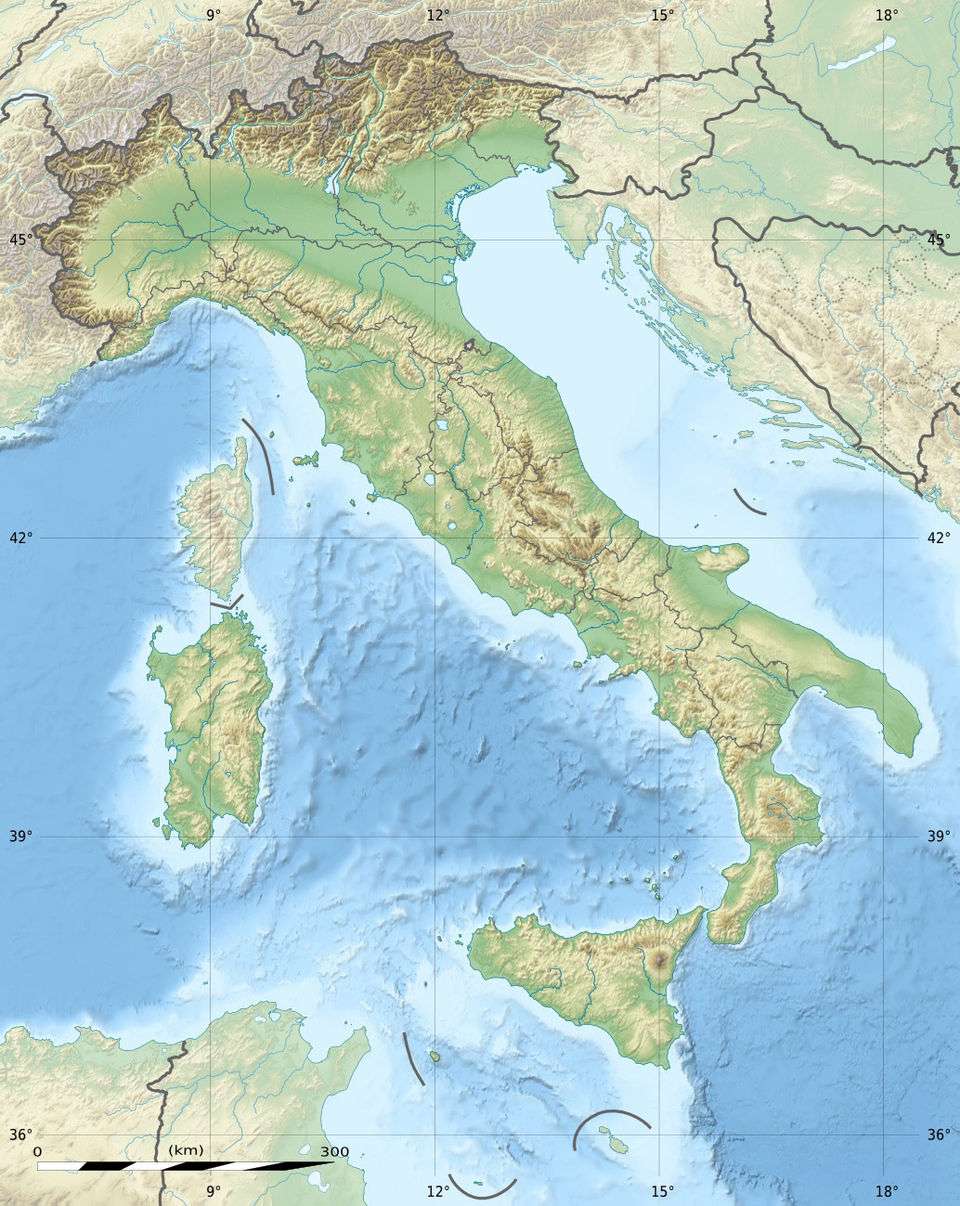 Monti della Meta Italy | |
| Location | Lazio, Abruzzo and Molise, Italy |
| Parent range | Central Apennines |
The Monti della Meta are a massif of central Italy located around the junction point of the boundaries between the regions of Lazio, Abruzzo and Molise. The major of three massifs of the Parco Nazionale d'Abruzzo, Lazio e Molise, they take their name from one of the peaks, Monte Meta.
Overview
The massif covers a map area of about 93.29 km2 (36.02 sq mi), with a minimum altitude of 450 m (1,480 ft), a maximum altitude of 2,249 m (7,379 ft) and a mean altitude of 1,000 m (3,300 ft).[1]
All the highest peaks (including the Monte Petroso, 2,247 m, Monte Cavallo, 2,039 m and Monte Mare, 2,020 m) show traces of Quaternary glaciation. Valleys in the chain include those of the Melfa and Mollarino rivers in the province of Frosinone, and the Rio Torto in the province of L'Aquila.
The southern part of the massif, on the boundary between Molise and Lazio, is the Monti delle Mainarde. Here, historically, the human presence has been not seasonal as in the highest slopes.
References
- ↑ "Monti della Meta". European Environment Agency.
Bibliography
- Caruso, F. (1995). Nel parco nazionale d'Abruzzo. Città di Castello: Tipografia Petruzzi.
External links
- "Monti della Meta". mountain-forecast.com.