Maijdee
| Maijdee মাইজদী | |
|---|---|
| Town | |
 Maijdee | |
| Coordinates: 22°50′N 91°6′E / 22.833°N 91.100°ECoordinates: 22°50′N 91°6′E / 22.833°N 91.100°E | |
| Country | Bangladesh |
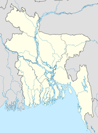
| Division | Chittagong Division |
| District | Noakhali District |
| Population | |
| • Total | 74,585 |
| • Density | 5,915/km2 (15,320/sq mi) |
| Time zone | BST (UTC+6) |
| Postal code | 3800 |
| Website |
www |
Maijdee (Bengali: মাইজদী) is a town in south eastern Bangladesh, located in Noakhali District, part of the Chittagong Division. Maijdee is the administrative center of Noakhali district and its main town. It is also known as Maijdee court town. It consists of 9 wards and 36 mahallas. It has an area of 12.61 km2.
History
The ancient name of Noakhali town was Sudharam. Sudharam on the west bank of the Noakhali khal about two miles from the sea was the headquarters of the district. In 1821 it was chosen as the headquarters of the Joint Magistrate appointed to the charge of the district of Bhulua. Sudharam was named from Sudliaram Mazumdar, a wealthy merchant and benefactor, who excavated the large tank known by his name. In 1876 it was constituted a Municipality and the population in 1901 was about 6,520. It was really nothing but a rural bazaar with a few Government offices and residential buildings. It was completely wrecked by the cyclone of 1893, and the Government offices erected since then are fine substantial buildings. There is a neat little Town Hall with a stage, billiard room, and library attached to it, and a good Circuit House has been built lately. The drinking water was supplied from Sudharam's tank. The town is connected by railway with Laksam, and steamers run from it to the islands and to Barisal.[1]
In 1948 when the district headquarters were extinct by the erosion of the Meghna River, it was shifted 8 km to the north to its present place at Maijdee.
Population
The town has a population of 74585 (male 51.50%, female 48.50%). Population density is 5915 per km2.
Education
Literacy rate among the town people is 60.7%.
References
- ↑ Webster, J.E (1911). Eastern Bengal and Assam District Gazetteers:Noakhali. (PDF). Allahbad: The Pioneer Press.