Magharibi District
| Zanzibar West District | |
|---|---|
| District | |
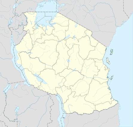 Zanzibar West District Location in Tanzania | |
| Coordinates: 06°10′S 039°17′E / 6.167°S 39.283°ECoordinates: 06°10′S 039°17′E / 6.167°S 39.283°E | |
| Country | Tanzania |
| Region | Zanzibar Urban/West Region |
| Population (2002) | |
| • Total | 184,710 |
Zanzibar West District is one of the two districts of the Zanzibar Urban/West Region of Tanzania. It is bordered to the north by the Zanzibar North Region, to the east by the Zanzibar Central/South Region, to the south by Kiwani Bay, and to the west by the Zanzibar Urban District.
As of 2002, the population of the Zanzibar West District was 184,710.[1]
Administrative subdivisions
Constituencies
For parliamentary elections, Tanzania is divided into constituencies. As of the 2010 elections the area for Zanzibar West District had nine of the nineteen constituencies in the region:[2]
- Bububu Constituency
- Dimani Constituency
- Dole Constituency
- Fuoni Constituency
- Kiembesamaki Constituency
- Magogoni Constituency
- Mfenesini Constituency
- Mtoni Constituency
- Mwanakwerekwe Constituency
Wards
As of 2002, Zanzibar West District was administratively divided into twenty-nine wards:[1]
| Nr. | Ward (Shehia) | population 2002 | remarks |
|---|---|---|---|
| 1 | Mwera | 6424 | |
| 2 | Mtoni | 9047 | "in the river" |
| 3 | Bububu | 13127 | |
| 4 | Chuini | 3320 | |
| 5 | Kama | 1593 | |
| 6 | Mfenesini | 2015 | |
| 7 | Mwakaje | 1933 | |
| 8 | Fuoni Kibondeni | 7118 | |
| 9 | Kianga | 4176 | |
| 10 | Dole | 2496 | |
| 11 | Kizimbani | 2534 | |
| 12 | Mbuzini | 2435 | "on the goat" |
| 13 | Bumbwisudi | 1492 | |
| 14 | Maungani | 2307 | |
| 15 | Shakani | 1310 | |
| 16 | Kiembe Samaki | 19835 | |
| 17 | Chukwani | 4134 | |
| 18 | Fumba | 909 | |
| 19 | Bweleo | 842 | |
| 20 | Dimani | 1560 | |
| 21 | Kombeni | 3060 | |
| 22 | Mwanakwerekwe | 21494 | |
| 23 | Mto Pepo | 10700 | |
| 24 | Magogoni | 13170 | |
| 25 | Mtoni Kidatu | 7407 | |
| 26 | Mwanyanya | 8674 | |
| 27 | Fuoni Kijitoupele | 11480 | |
| 28 | Tomondo | 14001 | |
| 29 | Welezo | 6117 | |
| Zanzibar West | 184710 |
Notes
- 1 2 "2002 Population and Housing Census: General Report: Urban West: West". Archived from the original on 18 March 2004.
- ↑ "Organisations located in Zanzibar City - Tanzania". African Development Information.
This article is issued from Wikipedia - version of the 9/7/2016. The text is available under the Creative Commons Attribution/Share Alike but additional terms may apply for the media files.