Mériel
| Mériel | ||
|---|---|---|
|
The River Oise near Mériel | ||
| ||
 Mériel | ||
|
Location within Île-de-France region 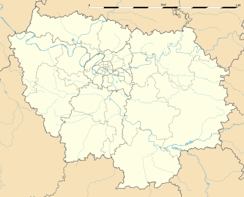 Mériel | ||
| Coordinates: 49°04′48″N 2°12′21″E / 49.0800°N 2.2058°ECoordinates: 49°04′48″N 2°12′21″E / 49.0800°N 2.2058°E | ||
| Country | France | |
| Region | Île-de-France | |
| Department | Val-d'Oise | |
| Arrondissement | Pontoise | |
| Canton | Saint-Ouen-l'Aumône | |
| Intercommunality | Vallée de l'Oise et des Impressionnistes | |
| Government | ||
| • Mayor (2008–2020) | Jean-Louis Delannoy | |
| Area1 | 5.31 km2 (2.05 sq mi) | |
| Population (2013)2 | 4,859 | |
| • Density | 920/km2 (2,400/sq mi) | |
| Time zone | CET (UTC+1) | |
| • Summer (DST) | CEST (UTC+2) | |
| INSEE/Postal code | 95392 / 95630 | |
| Elevation | 22–95 m (72–312 ft) | |
|
1 French Land Register data, which excludes lakes, ponds, glaciers > 1 km² (0.386 sq mi or 247 acres) and river estuaries. 2 Population without double counting: residents of multiple communes (e.g., students and military personnel) only counted once. | ||

.svg.png)
Mériel is a commune in the Val-d'Oise department and Île-de-France region of France.
Famous residents
- Jean Gabin, actor (1904-1976). Gabin spent his childhood in Mériel where a museum has been dedicated to his life and work.
- Fernand Braudel, historian (1902-1985).
Town twinning
Mériel is twinned with:
See also
References
External links
- Mérimée database - Cultural heritage (French)
- Land use (IAURIF) (English)
- Official website (French)
| Wikimedia Commons has media related to Mériel. |
This article is issued from Wikipedia - version of the 4/8/2016. The text is available under the Creative Commons Attribution/Share Alike but additional terms may apply for the media files.