Mány
| Mány | |
|---|---|
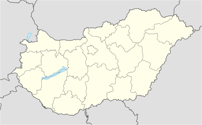 Mány Location of Mány | |
| Coordinates: 47°31′58″N 18°39′16″E / 47.5328°N 18.65455°ECoordinates: 47°31′58″N 18°39′16″E / 47.5328°N 18.65455°E | |
| Country |
|
| County | Fejér |
| Area | |
| • Total | 44.72 km2 (17.27 sq mi) |
| Population (2004) | |
| • Total | 2,374 |
| • Density | 53.08/km2 (137.5/sq mi) |
| Time zone | CET (UTC+1) |
| • Summer (DST) | CEST (UTC+2) |
| Postal code | 2065 |
| Area code(s) | 22 |
| Website |
www |
Location
Mány is located in the northeast side of Fejér county, in the Zsámbéki-basin.
History
In the middle ages Mány was in Esztergom county. Mány and Örs were fully destroyed in the first decades of the Turkish occupation. From 1611 there was a Batthyány estate, but in 1680 Batthyány family pledged their estates in Mány and Bicske. In 1703 Mány was moved to Fejér county. At the World War I 630 young man joined the army, and 115 them never returned home. For them, Mány set a monument in 1927. In 1944 World War II reached Mány. The Soviet ring surrounding Budapest was located in the border of Mány.
Relations
Mány's German sister city is Leimen, and the Szekely sister village is Mezőbánd in Mures county.
External links
- Street map (Hungarian)
- Many.hu (Hungarian)
County seat: Székesfehérvár | ||
| Cities and towns |  | |
| Villages |
| |
| Other topics |
| |
This article is issued from Wikipedia - version of the 8/6/2016. The text is available under the Creative Commons Attribution/Share Alike but additional terms may apply for the media files.