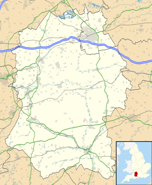
Ludgershall, Wiltshire
| Ludgershall | |
 Ludgershall Castle |
|
 Ludgershall |
|
| Population | 4,427 (in 2011)[1] |
|---|---|
| OS grid reference | SU265508 |
| Civil parish | Ludgershall |
| Unitary authority | Wiltshire |
| Shire county | Wiltshire |
| Region | South West |
| Country | England |
| Sovereign state | United Kingdom |
| Post town | ANDOVER |
| Postcode district | SP11 |
| Dialling code | 01264 |
| Police | Wiltshire |
| Fire | Dorset and Wiltshire |
| Ambulance | South Western |
| EU Parliament | South West England |
| UK Parliament | Devizes |
| Website | Town Council |
Coordinates: 51°15′22″N 1°37′19″W / 51.256°N 1.622°W
Ludgershall (/ˈlʌɡərʃɔːl/ LUG-ər-shawl, with a hard g) is a town and civil parish 16 miles (26 km) north east of Salisbury, Wiltshire, England. It is on the A342 road between Devizes and Andover. The parish includes the Faberstown housing estate which is contiguous with Ludgershall, and the hamlet of Biddesden which is 1.5 miles (2.4 km) to the east on the border with Hampshire.
History
There is evidence of settlement in the late Bronze Age or early Iron Age at Windmill Down on the western edge of the parish.[2]
The entry in the Domesday Book (1086) reads as follows: "Edward of Salisbury holds Ludgershall. Alfward held it before 1066; it paid tax for one hide (about 24 acres). Land for 3 ploughs. In Lordship 2 ploughs, 3 slaves; 8 Cottagers with 1 plough. Pasture 3 furlongs long and 1 furlong wide; woodland ½ league long and 2 furlongs wide." The value was 100 shillings.
Ludgershall was originally called "Litlegarsele", often rendered as "lytel", small and "garsheath", a grassy place thus a "small grazing area" or "little grass heath".
Buildings and structures
Castle
In 1141 the Empress Maud took refuge in Ludgershall Castle as she fled from King Stephen's army. She was accompanied by Milo Fitzwalter and escaped disguised as a corpse to Vies (Devizes) and thence to Gloucester. Some 600 years later a seal was found by a ploughman, bearing a knight in armour and holding a lance shield with the inscription "Sigillum Millonis De Glocestria". It is thought Fitzwalter threw away the seal to avoid identification when he escaped as a beggar. During succeeding centuries Ludgershall Castle was occupied by many distinguished persons and royalty frequently resided there. The village grew around the castle.
The town now features the remains of this 12th century fortified royal residence known as Ludgershall Castle. Three large walls still remain of the private residence, which was turned into a hunting lodge by King Henry III but fell into disuse by the 15th century. The property is now under the care of English Heritage. Extensive earthworks remain, although a large section of the original plot is now a private residence.
Cross

The remains of a Medieval preaching cross known as Ludgershall Cross are situated in the town centre. This is also under the care of English Heritage.[3] It was re-erected some time in the early 19th century in the area that formed the old market place, near the present Queen's Head pub at the end of High Street. It is some 12 feet in height and in 1897, to celebrate the Diamond Jubilee of Queen Victoria, an ornamental iron fence was erected around the cross. The cross has carved representations on four sides but they are badly eroded. It is thought the original sculptured panels represented:
- North side – The Ascencion
- South side – The three Marys
- East side – The Crucifixion
- West side – Command to St Paul
The railings were designed by A. H. Huth and bear a crown in each corner. A local Masonic lodge, The Border Lodge no.3129, consecrated in 1905 and meeting at the old Prince of Wales House hotel building, uses the preaching cross as its emblem.
Church
The Anglican Church of St James dates from the 12th century and is Grade I listed.[4][5]
Biddesden House
Biddesden House, now a Grade I listed house[6] and home to an Arabian Horse stud farm, is described in the Imperial Gazetteer of England and Wales (1870–72)[7] as being the chief residence of the parish of Ludgershall.
Corunna Barracks
During the Second World War, Army depots were built to the north and south of Tidworth Road. The War Office transferred the Army Medical Store to a site west of the railway station. The US Army prepared vehicles for the invasion of Europe at the depot in 1943.[8] The barracks are now home to 26 Engineer Regiment, Royal Engineers.[9]
Railway
Ludgershall had a railway station on the Swindon, Marlborough and Andover Railway which was opened in 1882.[10] By 1894 the operator was the Midland and South Western Junction Railway, providing services between Cheltenham and Southampton. A branch from Ludgershall was built to serve Tidworth Camp in 1901 and was opened to public traffic in 1902.[11][12] In 1943 a short spur was added to serve the military depot at Ludgershall, to the south of the main road.
Ludgershall railway station closed in 1961 along with the northern section of the line to Swindon, followed by the branch to Tidworth in 1963.[13] The spur at Ludgershall and the southern section to Andover remain open to allow the British Army to transport tanks and other equipment to and from the depot and onwards to the Salisbury Plain training area.
Government
The civil parish elects a parish council which styles itself as Ludgershall Town Council. It is in the area of Wiltshire Council unitary authority, which is responsible for all significant local government functions.
The parish falls in the 'Ludgershall and Perham Down' electoral ward. The ward stretches south east from the Ludgershall area to Perham Down. The total ward population at the 2011 census was 5,874.[14]
Ludgershall was a parliamentary borough which elected two members of parliament (MPs) to the House of Commons from 1295 until 1832, when the borough was abolished by the Great Reform Act. The small size of Ludgershall led to it being cited as an example of a "Rotten Borough".
County confusion
A common misconception is that the town is situated in the county of Hampshire rather than Wiltshire. This problem is compounded by the postal code of SP11 and telephone dialling code of 01264 which both signify it to be in Andover, Hampshire. This confusion is perpetuated by companies using automatic addressing systems based upon the post code. The local newspaper is the Andover Advertiser, based in Hampshire.
Faberstown
At the beginning of the 20th century, a local MP, Walter Faber, began building to the east of the town on land in Hampshire. This settlement became known as Faberstown. By 1970 Ludgershall and Faberstown were in essence a single village, and in 1992 a boundary change brought Faberstown into Wiltshire.[8][15]
Biddesden
Biddesden is a small hamlet to the east of Ludgershall, reached via Faberstown along Biddesden Lane. It is on the Hampshire/Wiltshire border and while most of Biddesden is in Wiltshire, Biddesden Bottom, the site of the Ludgershall Roman Villa, and the public footpath sign thereto,[16] are in Hampshire.
The modern town
The town of Ludgershall has developed considerably over the years and is now an important town supporting a number of flourishing businesses and a considerable amount of housing. It is likely to expand further over the next several years with the current proposals for a new business park on 33 acres (13 ha) on the outskirts of the town,[17] and the redevelopment of former MoD properties in the area.[18] The community is well provided for in terms of entertainment and shops with two pubs and social clubs, a number of small independent traders, and two supermarket chains.
References
- ↑ "Wiltshire Community History – Census". Wiltshire Council. Retrieved 1 March 2015.
- ↑ Historic England. "Boundary earthwork and associated bowl barrow on Windmill Hill (1010288)". National Heritage List for England. Retrieved 2 March 2015.
- ↑ Historic England. "Ludgershall Cross and railings (1285114)". National Heritage List for England. Retrieved 2 March 2015.
- ↑ Historic England. "Church of St James, Ludgershall (1036004)". National Heritage List for England. Retrieved 2 March 2015.
- ↑ "Church of St. James, Ludgershall". Wiltshire Community History. Wiltshire Council. Retrieved 2 March 2015.
- ↑ Historic England. "Biddesden House, Ludgershall (1035997)". National Heritage List for England. Retrieved 2 March 2015.
- ↑ Imperial Gazetteer of England and Wales (1870–72)
- 1 2 "Ludgershall". Wiltshire Community History. Wiltshire Council. Retrieved 1 March 2015.
- ↑ "Ludgershall soldiers share mine know-how". Retrieved 15 April 2014.
- ↑ Mike Oakley. Wiltshire Railway Stations (2004 ed.). Dovecote Press, Wimborne. p. 42. ISBN 1 904349 33 1.
- ↑ Historic England. "Tidworth Military Railway (1359011)". PastScape. Retrieved 1 March 2015.
- ↑ Crawford, T.S. (1 August 2012). Wiltshire and the Great War. Crowood. ISBN 978 1 84797 447 1.
- ↑ "Tidworth". Wiltshire Community History. Wiltshire Council. Retrieved 1 March 2015.
- ↑ "Ludgershall and Perham Down ward 2011.Retrieved 13 March 2015".
- ↑ "Election Maps". Ordnance Survey. Retrieved 1 March 2015.
- ↑ Footpath sign to Ludgershall Roman Villa
- ↑ South West RDA: News Centre – New business park gets thumbs up
- ↑ Castledown Business Park, Ludgershall
External links
![]() Media related to Ludgershall, Wiltshire at Wikimedia Commons
Media related to Ludgershall, Wiltshire at Wikimedia Commons
- Ludgershall, Wiltshire at DMOZ
- "Victoria County History – Vol 15 pp119-135 – Parishes: Ludgershall". British History Online. University of London. Retrieved 1 March 2015.
- "Ludgershall". Wiltshire Community History. Wiltshire Council. Retrieved 1 March 2015.
- History of Ludgershall castle and cross: English Heritage