Lower Darwen
| Lower Darwen | |
.jpg) Fore Street United Methodist Free Church, Lower Darwen |
|
 Lower Darwen |
|
| OS grid reference | SD688250 |
|---|---|
| Unitary authority | Blackburn with Darwen |
| Ceremonial county | Lancashire |
| Region | North West |
| Country | England |
| Sovereign state | United Kingdom |
| Post town | DARWEN |
| Postcode district | BB3 |
| Dialling code | 01254 |
| Police | Lancashire |
| Fire | Lancashire |
| Ambulance | North West |
| EU Parliament | North West England |
| UK Parliament | Blackburn |
| Rossendale and Darwen | |
|
|
Coordinates: 53°43′16″N 2°28′23″W / 53.721°N 2.473°W
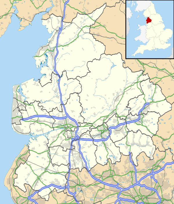
Lower Darwen is a village in the unitary borough of Blackburn with Darwen, contiguous with the town of Darwen, in the county of Lancashire. It is located between the towns of Blackburn and Darwen. Nearby places include Ewood and Blackamoor. It is situated in the valley of the River Darwen. The former township of Lower Darwen, abolished in the 1890s, extended south to Earnsdale Brook,[1] and included areas now in the town of Darwen.[2]
Until the late 18th century Lower Darwen was a farming area. A spinning mill was built in 1774[3] and although this did not have a major impact on the village at first, by the 1820s the majority of the village was involved in the textile industry.[4]
Lower Darwen is on the Blackburn to Bolton railway line, and the line through the village was opened in 1847.[5] Lower Darwen formerly had a railway station, however this closed in 1958.[6] There was also a motive power depot north of the station, which closed in the 1960s.[5]
Since the 1980s the village has expanded rapidly, with many new houses being built, including a large estate on the site formerly occupied by ROF Blackburn. It is not far from junction four of the M65 motorway.
A new road was built when the M65 was extended and the junction four created. Originally named Eccleshill Road, the road was renamed to Paul Rink Way in 2008. Blackburn with Darwen Borough Council has stated it chose this road for the renaming because it would not affect anyone, as there are no houses or business directly on the road.[7] On this road is a new housing estate along with a Premier Inn and Brewsters restaurant / pub.
References
- ↑ William Farrer & J Brownbill (editors). A History of the County of Lancaster: Volume 6 (1911): Townships: Lower Darwen. British History Online. pp. 275–278. Retrieved 2010-03-25.
- ↑ "Darwen Historic Towns Assessment Report" (PDF). Lancashire Historic Town Survey Programme. Lancashire County Council. May 2005. Retrieved 2010-03-25.
- ↑ Lower Darwen Mill
- ↑ Lower Darwen Village
- 1 2 Taylor, Stuart. Blackburn's Railways in the 1950s and 60s. Bredbury, Greater Manchester: Foxline (Publications). ISBN 978-1-870119-84-9.
- ↑ James, David (2004). Lancashire's Lost Railways. Catrine, Ayrshire: Stenlake Publishing. ISBN 978-1-84033-288-9. OCLC 56002103.
- ↑ Pye, Catherine (2008-09-09). "Darwen road tribute to green pioneer". Blackburn Citizen. Newsquest Media Group. Retrieved 2010-03-23.
| Wikimedia Commons has media related to Lower Darwen. |