Long Bennington
| Long Bennington | |
 Church of St Swithun, Long Bennington |
|
 Long Bennington |
|
| Population | 2,018 (2011) |
|---|---|
| OS grid reference | SK835445 |
| – London | 105 mi (169 km) S |
| District | South Kesteven |
| Shire county | Lincolnshire |
| Region | East Midlands |
| Country | England |
| Sovereign state | United Kingdom |
| Post town | NEWARK |
| Postcode district | NG23 |
| Dialling code | 01400 |
| Police | Lincolnshire |
| Fire | Lincolnshire |
| Ambulance | East Midlands |
| EU Parliament | East Midlands |
| UK Parliament | Sleaford and North Hykeham |
|
|
Coordinates: 52°59′29″N 0°45′27″W / 52.9913°N 0.7575°W
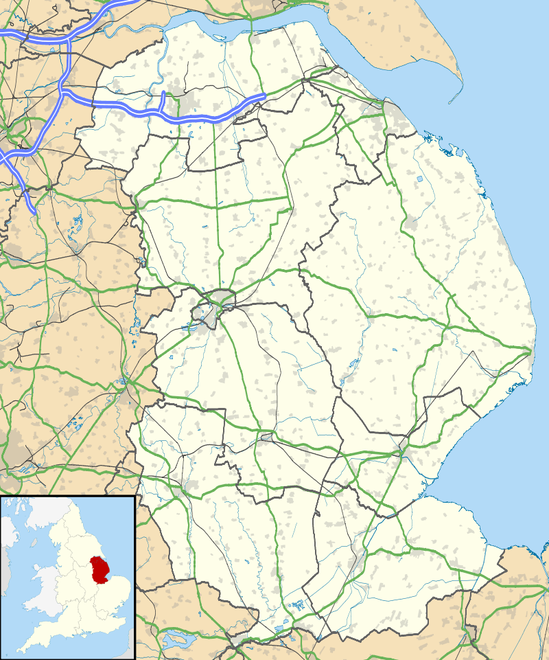
Long Bennington is a linear village and civil parish in South Kesteven district of Lincolnshire, England. It lies just off the A1 road, 7 miles (11 km) north of Grantham and 5 miles (8 km) south of Newark-on-Trent.
Long Bennington has a population of 2,100,[1] reducing to 2,018 at the 2011 Census.[2]
History
Long Bennington Priory was an Alien house granted in 1462 to the priory of Mount Grace.[3] The village has connections with the Younghusband family whose members include the first western man to enter Lhasa. Long Bennington is supposed to be the last place King Harold of Wessex camped before the Battle of Hastings.[4]
Geography
The Viking Way has passed to the south-east since 1997 to avoid a direct crossing of the A1. The River Witham runs to the east. Lying beside the A1 road, the village main street was once the part of the Great North Road from London to Edinburgh until 1968 when a bypass was constructed.[5] It was made from concrete and made excessive road noise, but was resurfaced with tarmac in 2003 to mitigate this, at a cost of £4.4 million.[6][7]
Community
Long Bennington has a parish council consisting of 11 councillors.[8] The village is twinned with the Normandy village of Bretteville-l'Orgueilleuse.[1] There is a Methodist chapel, St Swithun's Anglican church, and a primary school.[9] Its public houses are the Reindeer, Royal Oak and Whittakers. The village has a football team and a bowls team.[9]
References
- 1 2 "Home". Long Bennington Parish Council. Retrieved 14 June 2014.
- ↑ "Civil Parish population 2011". Neighbourhood Statistics. Office for National Statistics. Retrieved 23 May 2016.
- ↑ Page, William, ed. (1906). A History of the County of Lincoln. 2. London: Victoria County History. p. 242.
- ↑ Howarth, David Armine (2008). 1066: The Year of the Conquest. Paw Prints. p. 165. ISBN 9781439512425.
- ↑ "Network changes - 1960s". Roaders Digest. Retrieved 1 June 2015.
- ↑ "Concrete Roads Get The Quiet Treatment". Highways Agency. 17 October 2001. Retrieved 1 June 2015.
- ↑ Mumby, A (7 November 2002). "Road to rue in, Letters". New Civil Engineer. EMAP. Retrieved 1 June 2015.
- ↑ "The Parish Council". Long Bennington Parish Council. Retrieved 1 June 2015.
- 1 2 "Clubs, Facilities & Amenities". Long Bennington Parish Council. Retrieved 1 June 2015.
External links
 Media related to Long Bennington at Wikimedia Commons
- Local history
- New link road to Foston
- "A1 (Long Bennington Bypass)"; Millbanksystems.com. Retrieved 26 April 2012
England Portal | |
| Unitary authorities | |
| Boroughs or districts | |
| Major settlements |
|
| Topics | |