Loch na Berie
Coordinates: 58°12′37″N 6°55′58″W / 58.2102°N 6.9327°W
 The broch in 2003 | |
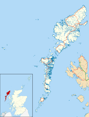 Shown within Outer Hebrides | |
| Alternate name | Traigh Na Berie |
|---|---|
| Location | Isle of Lewis |
| Coordinates | 58°12′37″N 6°55′58″W / 58.2102°N 6.9327°W |
| Type | Broch |
| History | |
| Periods | Iron Age / Early medieval |
Loch Na Berie is a broch in the Outer Hebrides of Scotland, located approximately 400 yards from the shore, and is thought to have been located on an island as the land to the east is a marsh. The site is designated a Scheduled Monument.
History
Loch na Berie is the site of an Iron Age Broch and associated causeway.[1] The site was excavated in the 1980s, which identified that the Broch had survived to first floor level.[1]
Location
The site is located on the Isle of Lewis, at Loch na Berie. The Loch has mainly reverted to marshland.[1]
Construction
Loch na Berie is roughly 16.5 meters in diameter and the walls are roughly 3 meters thick. A modern causeway made of stones robbed from the broch was built to the west of the broch, though it is thought that an ancient causeway underlies the modern one.[2]
References
- 1 2 3 Information from the Historic Scotland website
- ↑ RCAHMS. "Lewis, Traigh Na Berie (4100)". Canmore. Retrieved 26 February 2015.