List of airports in the Faroe Islands
EKVG
EKFA
EKKU
EKKV
EKMS
EKSY
EKSR
EKSO
EKTB
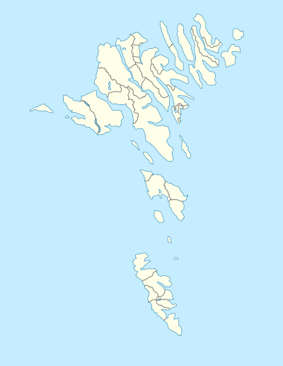
Location of airports in the Faroe Islands
This is a list of airports and heliports in the Faroe Islands, sorted by location.
The Faroe Islands are a group of islands in Northern Europe, between the Norwegian Sea and the north Atlantic Ocean, about halfway from Iceland to Norway. They have been an autonomous region of Denmark since 1948. There is one airport and a number of public heliports. The domestic helicopter services are operated by Atlantic Airways.
| LOCATION | ICAO | IATA | Airport name | Coordinates | Reference |
|---|---|---|---|---|---|
| Froðba | EKFA | Froðba Heliport | 61°32′37″N 006°46′28″W / 61.54361°N 6.77444°W | [1] | |
| Kirkja | EKKU | Kirkja Heliport | 62°19′02″N 006°18′48″W / 62.31722°N 6.31333°W | [2] | |
| Klaksvík | EKKV | Klaksvík Heliport | 62°13′04″N 006°34′35″W / 62.21778°N 6.57639°W | [3] | |
| Mykines | EKMS | Mykines Heliport | 62°06′08″N 007°38′45″W / 62.10222°N 7.64583°W | [4] | |
| Sørvágur | EKVG | FAE | Vágar Airport | 62°03′49″N 007°16′38″W / 62.06361°N 7.27722°W | [5] |
| Skúvoy | EKSY | Skúvoy Heliport | 61°46′10″N 006°48′13″W / 61.76944°N 6.80361°W | [6] | |
| Stóra Dímun | EKSR | Stóra Dímun Heliport | 61°41′07″N 006°45′31″W / 61.68528°N 6.75861°W | [7] | |
| Svínoy | EKSO | Svínoy Heliport | 62°16′36″N 006°20′29″W / 62.27667°N 6.34139°W | [8] | |
| Tórshavn | EKTB | Bodanes Heliport | 62°01′18″N 006°45′27″W / 62.02167°N 6.75750°W | [9] |
See also
- List of airports in Denmark
- Transport in the Faroe Islands
- List of airports by ICAO code: E#EK – Denmark and the Faroe Islands
- Wikipedia: Airline destination lists: Europe#Faroe Islands (Denmark)
- List of the busiest airports in the Nordic countries
References
- ↑ Faroe Islands AIP for EKFA – Froðba Heliport from Naviair
- ↑ Faroe Islands AIP for EKKU – Kirkja Heliport from Naviair
- ↑ Faroe Islands AIP for EKKV – Klaksvík Heliport from Naviair
- ↑ Faroe Islands AIP for EKMS – Mykines Heliport from Naviair
- ↑ Faroe Islands AIP for EKVG – Vágar Airport from Naviair
- ↑ Faroe Islands AIP for EKSY – Skúvoy Heliport from Naviair
- ↑ Faroe Islands AIP for EKSR – Stóra Dímun Heliport from Naviair
- ↑ Faroe Islands AIP for EKSO – Svínoy Heliport from Naviair
- ↑ Faroe Islands AIP for EKTB – Bodanes Heliport from Naviair
External links
This article is issued from Wikipedia - version of the 11/9/2016. The text is available under the Creative Commons Attribution/Share Alike but additional terms may apply for the media files.