Lisbellaw
| Lisbellaw | |
| Irish: Lios Béal Átha | |
 Lisbellaw Parish Church |
|
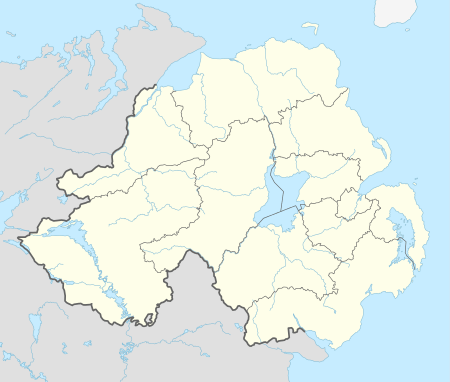 Lisbellaw |
|
| Population | 1,277 (2008 estimate) |
|---|---|
| Irish grid reference | H301410 |
| – Belfast | 78 miles |
| District | Fermanagh and Omagh |
| County | County Fermanagh |
| Country | Northern Ireland |
| Sovereign state | United Kingdom |
| Post town | ENNISKILLEN |
| Postcode district | BT94 |
| Dialling code | 028, +44 28 |
| EU Parliament | Northern Ireland |
| UK Parliament | Fermanagh and South Tyrone |
| NI Assembly | Fermanagh and South Tyrone |
|
|
Coordinates: 54°19′01″N 7°32′13″W / 54.317°N 7.537°W
Lisbellaw (from Irish: Lios Béal Átha, meaning "ringfort at the ford-mouth")[1] is a village in County Fermanagh, Northern Ireland, about 5 miles (8.0 km) east of Enniskillen. In 2008 it had an estimated population of 1,277 people.
The village is built around the (Church of Ireland) parish church, which was built in the 18th century. The steep main street houses two grocery shop, a hairdressing salon, two pubs, a post office, a dentist's surgery, a beauty salon, a butcher, two mechanics, a pharmacy, a health store distributor, a chip shop, and a hardware store, as well as the (Church of Ireland) parish centre, the Methodist and Presbyterian churches. The Roman Catholic church building and a Plymouth Brethren gospel hall lie just off the main street. Just outside the village is Carrybridge, a marina on Upper Lough Erne.
A Lisbellaw railway station opened on August 16, 1858 and shut down on 1 October 1957.[2]
Population
Lisbellaw is classified as a village by the Northern Ireland Statistics and Research Agency. A census performed on April 29, 2001 revealed a population of 1,046 people living in Lisbellaw. Of these:
- 24.0% were aged under 16 years and 16.7% were aged 60 and over
- 48.7% of the population were male and 51.3% were female
- 91.9% were from a Protestant and other Christian background (including Christian related community background) [3]
- 7.3% of the population were from a Catholic Community Background [4]
- 5.7% of people aged 16–74 were unemployed
See also
References
- ↑ Placenames Database of Ireland
- ↑ "Lisbellaw station" (PDF). Railscot - Irish Railways. Retrieved 2007-10-28.
- ↑ "NINIS Area Profile of Lisbellaw".
- ↑ "NINIS Area Profile of Lisbellaw".
External links
- Lisbellaw United Football Club
- Lisbellaw Market House
- Lisbellaw Parish Church
- Lisbellaw Primary School
- 2008 population