Lipelaneng
| Lipelaneng | |
|---|---|
| Community Council | |
 Lipelaneng Geographic Center of Community | |
| Coordinates: 28°45′12″S 28°15′29″E / 28.75333°S 28.25806°E | |
| Country |
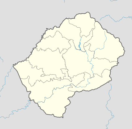
|
| District | Butha-Buthe & Leribe |
| Elevation[1] | 5,810 ft (1,771 m) |
| Population (2006) | |
| • Total | 30,320 |
| Time zone | CAT (UTC+2) |
| Coordinates computed from Lesotho Villages file.[2] | |
Lipelaneng is a community council located in the Butha-Buthe and Leribe Districts of Lesotho.[3] Its population in 2006 was 30,320.[4]
Villages
The community of Lipelaneng includes the villages of Baroeng, Botha-Bothe Reserve, Ha Kamoho, Ha Koabeng (Mabothile), Ha Lekhooana (Matebeleng), Ha Lekili, Ha Majara, Ha Makakamela (Ha Rampai), Ha Maletatso, Ha Mapape (Mekhotlong), Ha Mokete, Ha Mokhoka, Ha Mopeli, Ha Morathaba, Ha Mothetsi, Ha Nqabeni, Ha Qoati, Ha Ramokema, Ha Sebeko, Ha Sechele, Ha Sepetla, Ha Serole, Ha Shepeseli, Ha Shepheseli, Ha Thabo (Liqalaneng), Khapung, Lerallaneng, Likhefing, Likhutlong (Mahlabatheng), Likileng, Likoting, Lipelaneng, Liqalaneng, Lithakong, Mabothile, Maholeng, Majakaneng, Makong, Makopo, Mamohololi, Maoeng, Marallaneng, Masaleng, Masheeng, Matebeleng, Moholokohlong (Matlakeng), Mokhanthane, Morifi, Paballong (Motse-Mocha), Peqeng (Matlakeng), Phahama, Phahameng, Phaphama, Qaphaulane, Sekoting, Tarabane, Taung (Ha Rampai), Thabana-Mokhele, Thabong, Thata-Moli, Thotaneng (Matlakeng), Thoteng (Ha Shepeseli) and Tlokoeng.[3]
References
- ↑ GTOPO30 via GeoNames. Retrieved 2010-08-11.
- ↑ Google Earth Download Site Retrieved 2010-07-21.
- 1 2 Lesotho Bureau of Statistics, Village List 2006.
- ↑ Statoids.com