Lillooet Airport
| Lillooet Airport | |||||||||||
|---|---|---|---|---|---|---|---|---|---|---|---|
| IATA: none – ICAO: CYLI | |||||||||||
| Summary | |||||||||||
| Airport type | Public | ||||||||||
| Operator | District of Lillooet | ||||||||||
| Location | Lillooet, British Columbia | ||||||||||
| Time zone | PST (UTC−08:00) | ||||||||||
| • Summer (DST) | PDT (UTC−07:00) | ||||||||||
| Elevation AMSL | 1,320 ft / 402 m | ||||||||||
| Coordinates | 50°40′29″N 121°53′37″W / 50.67472°N 121.89361°WCoordinates: 50°40′29″N 121°53′37″W / 50.67472°N 121.89361°W | ||||||||||
| Map | |||||||||||
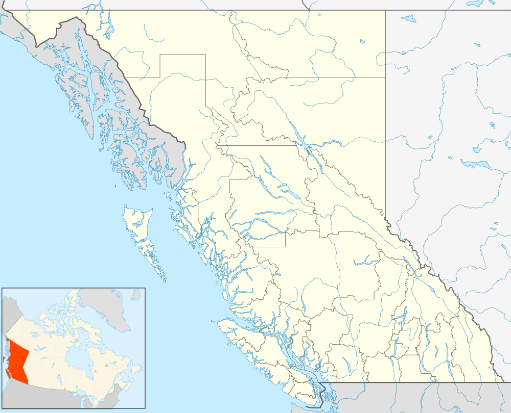 CAR3 Location in British Columbia | |||||||||||
| Runways | |||||||||||
| |||||||||||
|
Source: Canada Flight Supplement[1] | |||||||||||
Lillooet Airport, (ICAO: CYLI), is located 1.5 nautical miles (2.8 km; 1.7 mi) east southeast of Lillooet, British Columbia, Canada.
References
- ↑ Canada Flight Supplement. Effective 0901Z 15 September 2016 to 0901Z 10 November 2016
| By name | |
|---|---|
| By location indicator | |
| By province/territory | |
| By region | |
| National Airports System | |
| Related | |
| |
This article is issued from Wikipedia - version of the 12/4/2016. The text is available under the Creative Commons Attribution/Share Alike but additional terms may apply for the media files.