Likiep Atoll
|
NASA picture of Likiep Atoll | |
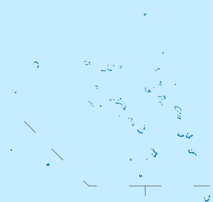 Likiep Atoll | |
| Geography | |
|---|---|
| Location | North Pacific |
| Coordinates | 09°54′00″N 169°08′00″E / 9.90000°N 169.13333°ECoordinates: 09°54′00″N 169°08′00″E / 9.90000°N 169.13333°E |
| Archipelago | Ratak |
| Total islands | 65 |
| Area | 10.26 km2 (3.96 sq mi) |
| Highest elevation | 10 m (30 ft) |
| Administration | |
| Demographics | |
| Population | 482 (1998) |
| Ethnic groups | Marshallese |

Likiep Atoll (Marshallese: Likiep, [lʲi͡ɯɡɯ͡iɛpʲ][1]) is a coral atoll of 65 islands in the Pacific Ocean, and forms a legislative district of the Ratak Chain of the Marshall Islands. It is approximately 55 kilometres (34 mi) northwest of Wotje. Its total land area is only 10.26 square kilometres (3.96 sq mi), but that encloses a deep central lagoon of 424 square kilometres (164 sq mi). Likiep Atoll also possesses the Marshall Islands' highest point, an unnamed knoll 10 metres (33 ft) above sea level. The population of Likiep Atoll was 482 in 1998.
History
The first sighting recorded by Europeans was by the Spanish expedition of Ruy López de Villalobos in January 1543. On 5 January 1565 its sighting was again recorded by the patache San Lucas commanded by Alonso de Arellano, that being part of the Spanish expedition of Miguel López de Legazpi had by then separated from Legazpi's fleet. On 12 January 1565 it was Legazpi who arrived to Likiep Atoll and charted them as Los Corrales ("farmyards" in Spanish).[2]
In 1877, Likiep Atoll was purchased by Georg Eduard Adolph Capelle, a German trader and partner with whaler Anton Debrum in the trading firm Capelle & Co, which traded extensively in copra and marine products throughout Micronesia. Likiep Atoll was claimed by the Empire of Germany along with the rest of the Marshall Islands in 1884, and the Germans established a trading outpost. After World War I, the island came under the South Pacific Mandate of the Empire of Japan. Following the end of World War II, it came under the control of the United States as part of the Trust Territory of the Pacific Islands until the independence of the Marshall Islands in 1986.
The Debrum House (1890), on Likiep Island in the atoll, is listed on the U.S. National Register of Historic Places.
References
- ↑ Marshallese-English Dictionary - Place Name Index
- ↑ Coello, Francisco "Conflicto hispano-alemán" Boletín de Sociedad Geográfica de Madrid, t.XIX. 2º semestre 1885, Madrid, p.281,287,288
External links
- Marshall Islands site
- Oceandots entry for Ebon at the Wayback Machine (archived December 23, 2010)
- Carmen C.H. Petrosian-Husa, The De Brum Photo Collection - Memento Mori, Alele Report 2005/1, Historic Preservation Office, Majuro, Marshall Islands.
| Wikimedia Commons has media related to Likiep Atoll. |
| ||
| Ratak Chain (Sunrise, Eastern) |  | |
| Ralik Chain (Sunset, Western) | ||