Lepsøya
 View of Lepsøya | |
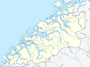 Lepsøya Location in Møre og Romsdal | |
| Geography | |
|---|---|
| Location | Sunnmøre, Norway |
| Coordinates | 62°37′17″N 6°10′12″E / 62.6213°N 6.1699°ECoordinates: 62°37′17″N 6°10′12″E / 62.6213°N 6.1699°E |
| Area | 12.1 km2 (4.7 sq mi) |
| Length | 5.7 km (3.54 mi) |
| Width | 3 km (1.9 mi) |
| Highest elevation | 490 m (1,610 ft) |
| Highest point | Goaldet |
| Administration | |
| County | Møre og Romsdal |
| Municipality | Haram Municipality |
Lepsøya (or Løvsøya) is an island in Haram Municipality in Møre og Romsdal county, Norway. The island is located in the western part of the municipality, with the Haramsfjorden and the island of Haramsøya to the northeast; the Vigrafjorden and the island of Vigra (in Giske Municipality) to the southwest; and Bjørnøya, Terøya, and the mainland to the southeast.
The island is connected to the mainland and to the village of Austnes on Haramsøya island via a car ferry. The population of the island (2001) was 419. Most of the population lives on the southeastern side of the island, near the ferry port.[1]
References
- ↑ Store norske leksikon. "Lepsøya" (in Norwegian). Retrieved 2010-10-20.
This article is issued from Wikipedia - version of the 11/28/2016. The text is available under the Creative Commons Attribution/Share Alike but additional terms may apply for the media files.