Laurel Hill Historic District
|
Laurel Hill Historic District | |
 | |
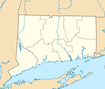  | |
| Location | Roughly bounded by Spruce Street, Rogers and River Avenues, and Talman Street, Norwich, Connecticut |
|---|---|
| Coordinates | 41°31′4″N 72°4′29″W / 41.51778°N 72.07472°WCoordinates: 41°31′4″N 72°4′29″W / 41.51778°N 72.07472°W |
| Area | 120 acres (49 ha) |
| Architect | Bill,Henry |
| Architectural style | Late Victorian, Italianate, Folk Victorian |
| NRHP Reference # | 87000516[1] |
| Added to NRHP | October 26, 1987 |
The Laurel Hill Historic District is a predominantly residential historic district south of downtown Norwich, Connecticut. The district was added to the National Register of Historic Places on October 26, 1987. It extends south from the Shetucket River along Laurel Hill Avenue, River Avenue, and Spruce Street. This area was developed as a residential district beginning in 1850, and includes a significant number of well-preserved Italianate and Gothic Revival houses. There are only a few 20th century houses in the district. The only significant non-residential building is a c. 1871 Italianate schoolhouse, which is one of two brick buildings (the other is a house) in the district.[2]
-
.jpg)
Italianate (1868)
-
.jpg)
American Queen Anne (1882)
-
.jpg)
See also
- Neighborhoods of Norwich, Connecticut
- American Thermos Bottle Company Laurel Hill Plant, which lies southwest of the district along the Thames River
- National Register of Historic Places listings in New London County, Connecticut
References
- ↑ National Park Service (2009-03-13). "National Register Information System". National Register of Historic Places. National Park Service.
- ↑ "NRHP nomination for Laurel Hill Historic District" (PDF). National Park Service. Retrieved 2015-01-28.
| Topics | |
|---|---|
| Lists by states |
|
| Lists by insular areas | |
| Lists by associated states | |
| Other areas | |
| |
This article is issued from Wikipedia - version of the 11/27/2016. The text is available under the Creative Commons Attribution/Share Alike but additional terms may apply for the media files.