Kluisbergen
| Kluisbergen | |||
|---|---|---|---|
| Municipality | |||
 | |||
| |||
 Kluisbergen Location in Belgium | |||
|
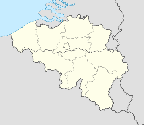
Location of Kluisbergen in East Flanders  | |||
| Coordinates: 50°47′N 03°31′E / 50.783°N 3.517°ECoordinates: 50°47′N 03°31′E / 50.783°N 3.517°E | |||
| Country | Belgium | ||
| Community | Flemish Community | ||
| Region | Flemish Region | ||
| Province | East Flanders | ||
| Arrondissement | Oudenaarde | ||
| Government | |||
| • Mayor | Philippe Willequet | ||
| • Governing party/ies | GB | ||
| Area | |||
| • Total | 30.38 km2 (11.73 sq mi) | ||
| Population (1 January 2016)[1] | |||
| • Total | 6,445 | ||
| • Density | 210/km2 (550/sq mi) | ||
| Postal codes | 9690 | ||
| Area codes | 055 | ||
| Website | www.kluisbergen.be | ||


Kluisbergen (Dutch pronunciation: [ˈklœy̯zbɛrɣə(n)]) is a municipality located in the Belgian province of East Flanders. The municipality comprises the towns of Berchem, Kwaremont, Ruien and Zulzeke. On January 1, 2006, Kluisbergen had a total population of 6,161. The total area is 30.38 km² which gives a population density of 203 inhabitants per km². It is well known for its various hills that are popular among cyclists. The town of Ruien is the largest and has some outdoor facilities. Kwaremont has the title of "Artist Village" because of its numerous painters and art galleries. Kluisbergen is also home to the "Kluisbos", a forest which has 2 ancient standing stones, dating back to Roman times.
References
- ↑ Population per municipality as of 1 January 2016 (XLS; 397 KB)
External links
 Media related to Kluisbergen at Wikimedia Commons
- Official website (Dutch)
 |
Wortegem-Petegem | Oudenaarde | | |
| Avelgem (VWV) | |
Maarkedal | ||
| ||||
| | ||||
| Mont-de-l'Enclus (WHT) | Ronse |

This article is issued from Wikipedia - version of the 12/1/2016. The text is available under the Creative Commons Attribution/Share Alike but additional terms may apply for the media files.