Kuntur Jiwaña
| Kuntur Jiwaña | |
|---|---|
 Kuntur Jiwaña Location within Bolivia | |
| Highest point | |
| Elevation | 3,760 m (12,340 ft) [1] |
| Coordinates | 17°00′42″S 67°33′46″W / 17.01167°S 67.56278°WCoordinates: 17°00′42″S 67°33′46″W / 17.01167°S 67.56278°W |
| Geography | |
| Location |
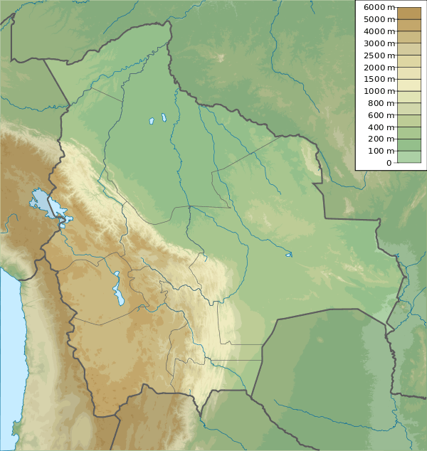
Bolivia La Paz Department, Loayza Province |
| Parent range | Andes |
Kuntur Jiwaña (Aymara kunturi condor, jiwaña to die; massacre, slaughter, slaughtering,[2][3] also spelled Condor Jihuaña) is a mountain in the Bolivian Andes which reaches a height of approximately 3,760 m (12,340 ft). It is located in the La Paz Department, Loayza Province, on the border of the municipalities of Cairoma and Luribay. Kuntur Jiwaña lies east of Janq'u Willk'i.[1][4]
References
- 1 2 Bolivian IGM map 1:50,000 Luribay 6042-I
- ↑ "Diccionario Bilingüe, Castellano - Aymara, 2002". Félix Layme Pairumani. Retrieved February 16, 2016. (see: Cóndor)
- ↑ Radio San Gabriel, "Instituto Radiofonico de Promoción Aymara" (IRPA) 1993, Republicado por Instituto de las Lenguas y Literaturas Andinas-Amazónicas (ILLLA-A) 2011, Transcripción del Vocabulario de la Lengua Aymara, P. Ludovico Bertonio 1612 (Spanish-Aymara-Aymara-Spanish dictionary)
- ↑ "Cairoma". INE, Bolivia. Retrieved February 16, 2016.
This article is issued from Wikipedia - version of the 2/19/2016. The text is available under the Creative Commons Attribution/Share Alike but additional terms may apply for the media files.