Kokyar
| Kokyar | |
|---|---|
| Town | |
| Chinese transcription(s) | |
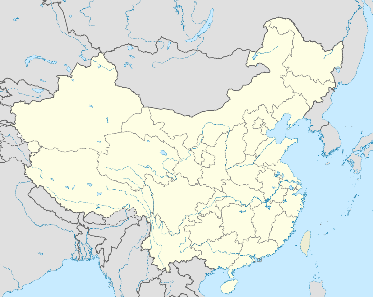 Kokyar Location in China | |
| Coordinates: 36°49′N 81°35′E / 36.817°N 81.583°E | |
| Country | China |
| Province | Xinjiang |
| Prefecture | Hotan Prefecture |
| County | Qira County |
| Time zone | CST (UTC+8) |
Kokyar (Kɵkyar, Көкяр, كۆكيار, Kökyar, Kök-yār, 库克牙 pinyin: Kùkèyá) is a small oasis and town in Qira County of the Hotan Prefecture of southwestern Xinjiang Province, China. It is at an altitude of 1,419 m (4,658 ft).
Description
Kokyar is a small oasis, only about 50 km south of Karghalik,[1] with cultivation limited to:
- ". . . a narrow strip of ground less than half a mile across and under five miles in length, enclosed between absolutely barren slopes at the bottom of a narrow valley. The people, reckoned at about two hundred households, depend largely for their sustenance on cattle and sheep kept far away in the mountains. Nor is the configuration of the valley such that a much extended cultivation can be assumed even for an earlier period when a moister climate prevailed."[2]
There are also orchards containing apricot, mulberry and other fruit trees and fields of wheat and oats and stands of willow and poplar trees. The people produce excellent felts which are famous throughout Turkestan which obviously contribute significantly to the economy. The people speak 'Taghlik' or "hill Turki" (Uyghur).[3]
Kokyar was the first oasis reached in the Taklamakan basin after travelling the winter route north from the Karakoram Pass via Bazar Dara or from northern Hunza Valley to Yarkand along the frozen Yarkand River.[4] Coordinates: 36°49′N 81°35′E / 36.817°N 81.583°E
Footnotes
References
- Hill, John E. (2009) Through the Jade Gate to Rome: A Study of the Silk Routes during the Later Han Dynasty, 1st to 2nd Centuries CE. BookSurge, Charleston, South Carolina. ISBN 978-1-4392-2134-1.
- Stein, M. Aurel (1912). Ruins of Desert Cathay: Personal narrative of explorations in Central Asia and westernmost China, 2 vols. Reprint: Delhi. Low Price Publications. 1990.
- Stein, M. Aurel (1921). Serindia: Detailed report of explorations in Central Asia and westernmost China, 5 vols. M. Aurel Stein. 1921. London. Oxford. Clarendon Press. Reprint: Delhi. Motilal Banarsidass. 1980.