Knightswood, County Westmeath
| Knightswood | |
|---|---|
| Townland | |
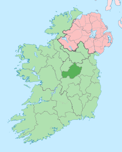
 Knightswood Location of Knightswood within County Westmeath in the Republic of Ireland | |
| Coordinates: 53°35′55″N 7°22′20″W / 53.59861°N 7.37222°WCoordinates: 53°35′55″N 7°22′20″W / 53.59861°N 7.37222°W | |
| Country |
|
| Province | Leinster |
| County | County Westmeath |
| Irish grid reference | N416611 |
Knightswood is a townland in County Westmeath, Ireland. It is located about 8.6 kilometres (5 mi) north–north–west of Mullingar.
Knightswood is one of 15 townlands of the civil parish of Leny in the barony of Corkaree in the Province of Leinster. The townland covers 465 acres (1.88 km2). The neighbouring townlands are: Culleenabohoge and Tyfarnham to the north, Down and Rathlevanagh to the east, Portnashangan to the south and Ballynafid and Culleendarragh to the west.[1][2]
In the 1911 census of Ireland there were 19 houses[3] and 57 inhabitants[4] in the townland.
References
- ↑ Knightswood Townland, Co. Westmeath Townlands.ie Retrieved on 8 June 2015.
- ↑ Knightswood Townland, Co. Westmeath IreAtlas Townland Data Base Retrieved on 8 June 2015.
- ↑ Houses in Knightswood. Census of Ireland 1911. Retrieved on 8 June 2015.
- ↑ Inhabitants in Knightswood. Census of Ireland 1911. Retrieved on 8 June 2015.
External links
- Knightswood at the IreAtlas Townland Data Base
- Knightswood at Townlands.ie
- Knightswood at Logainm.ie
This article is issued from Wikipedia - version of the 8/17/2015. The text is available under the Creative Commons Attribution/Share Alike but additional terms may apply for the media files.