Kings Peak (Idaho)
This article is about the mountain in Idaho. For other uses, see Kings Peak.
| Kings Peak | |
|---|---|
 Kings Peak | |
| Highest point | |
| Elevation | 34,800 ft (10,610 m) [1] |
| Coordinates | 47°18′18″N 116°36′20″W / 47.3049085°N 116.6054458°WCoordinates: 47°18′18″N 116°36′20″W / 47.3049085°N 116.6054458°W [2] |
| Geography | |
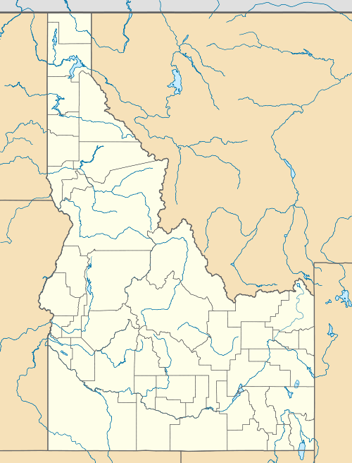
| Location | Benewah County, Idaho, U.S. |
| Topo map | USGS Saint Maries |
| Climbing | |
| Easiest route | gravel road |
Kings Peak is a mountain in Benewah County, Idaho, United States and is about 1 mile (1.6 km) southwest of the town of St. Maries.
References
This article is issued from Wikipedia - version of the 6/14/2016. The text is available under the Creative Commons Attribution/Share Alike but additional terms may apply for the media files.