Kimsa Misa
For the mountain named Kimsa Misa or Pacha Qullu in the Litoral Province, Oruro Department, Bolivia, see Pacha Qullu.
| Kimsa Misa | |
|---|---|
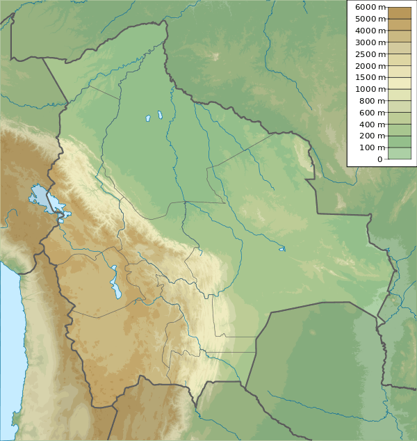 Kimsa Misa Location in Bolivia | |
| Highest point | |
| Elevation | 4,800 m (15,700 ft) [1] |
| Coordinates | 18°03′30″S 68°19′42″W / 18.05833°S 68.32833°WCoordinates: 18°03′30″S 68°19′42″W / 18.05833°S 68.32833°W |
| Geography | |
| Location | Bolivia, Oruro Department |
| Parent range | Andes |
Kimsa Misa (Aymara kimsa three, misa offering,[2][3] also spelled Quimsa Mesa) is a mountain in the Andes of Bolivia which reaches a height of approximately 4,800 m (15,700 ft). It is located in the Oruro Department, Sajama Province, at the border of the municipalities of Curahuara de Carangas and Turco. Kimsa Misa lies north of Wayna Potosí.[1][4]
References
- 1 2 Bolivian IGM map 1:50,000 Estancia Marcarani Hoja 5939-IV
- ↑ Radio San Gabriel, "Instituto Radiofonico de Promoción Aymara" (IRPA) 1993, Republicado por Instituto de las Lenguas y Literaturas Andinas-Amazónicas (ILLLA-A) 2011, Transcripción del Vocabulario de la Lengua Aymara, P. Ludovico Bertonio 1612 (Spanish-Aymara-Aymara-Spanish dictionary)
- ↑ Narciso Valencia Parisaca, La Pachamama: Revelación del Dios Creador, Colección Iglesias, pueblos y culturas, No. 52-53, Quito, Ecuador, 1998
- ↑ "Turco". Retrieved March 5, 2016. (unnamed)
Capital: Oruro | ||
| Provinces |  | |
| Municipalities (and seats) |
| |
This article is issued from Wikipedia - version of the 3/5/2016. The text is available under the Creative Commons Attribution/Share Alike but additional terms may apply for the media files.