Khuzdar
| Khuzdar | |
|---|---|
 Khuzdar | |
| Coordinates: 27°48′N 66°37′E / 27.800°N 66.617°ECoordinates: 27°48′N 66°37′E / 27.800°N 66.617°E | |
| Country |
|
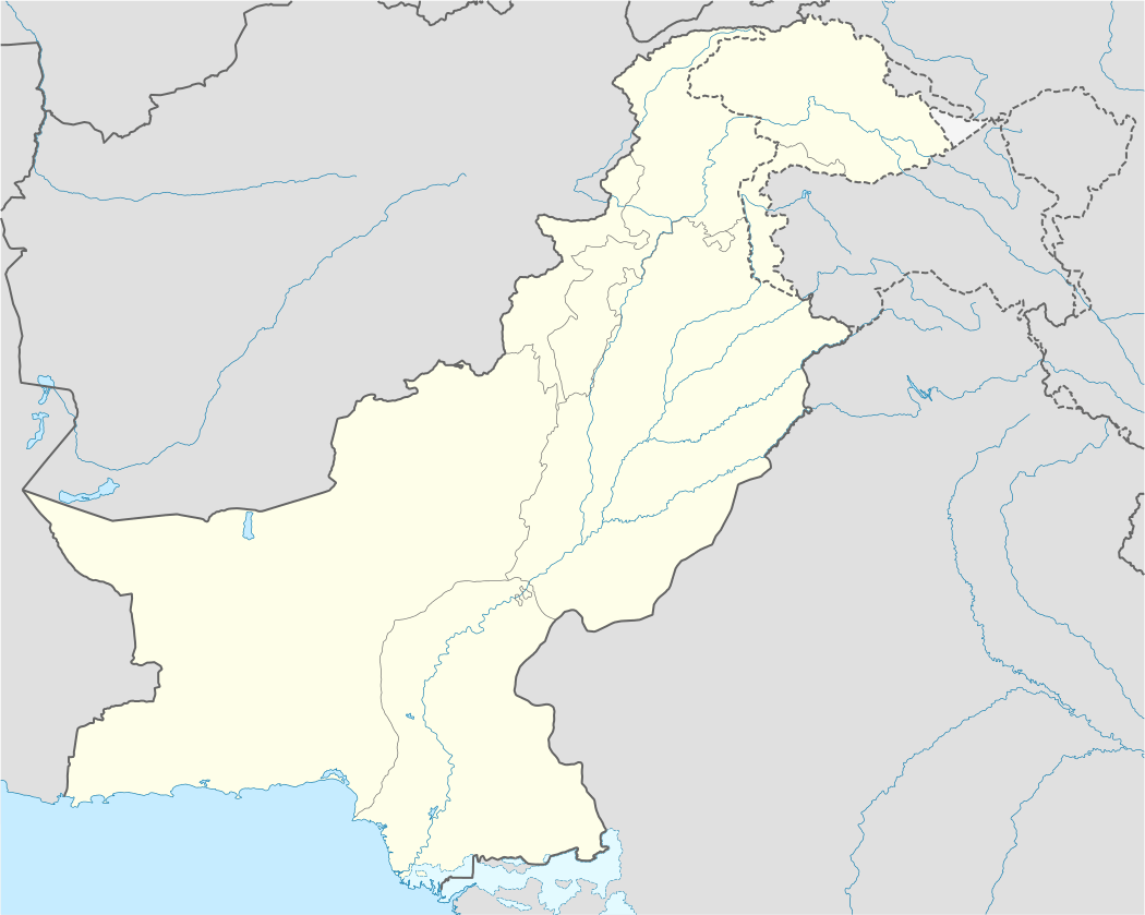
| Province | Balochistan Province |
| Elevation | 1,237 m (4,058 ft) |
| Time zone | PST (UTC+5) |
| Calling code | +92848 |
Khuzdar (Brahui/Balochi: خوزدار, Khuzdār; Urdu: خضدار) is the capital city of the Khuzdar District of central Balochistan, Pakistan. Before March 1974, Khuzdar was a part of Kalat District. The Jhalawani or southern dialect of the Brahui language is spoken.
History
Khuzdar was the capital of the Brahui kingdom of Makran.[1]
In the early 17th century it was part of the Jhalawan kingdom, but it soon fell under the Kingdom of Kalat, where it remained until a series of revolts during the reign of Khudadad Khan (1857-1893). By 1896, after Khudadad's death, the authority of Kalat was restored.[2]
Under a treaty with Kalat, the British appointed a political agent at Khuzdar in 1903. British assistance continued until 1947, after which the area was acceded to Pakistan as part of the two nation theory and became a Democracy. When the Baluchistan States Union became Kalat Division, Khuzdar was established as the divisional headquarters. The divisional administration of Pakistan ended in 2000. Khuzdar was again established as the Divisional headquarters in June 2009 by the Pakistan Peoples Party Government.
Geography and climate
Khuzdar is at the apex of a narrow valley at an elevation of 1,237 metres (4,058 ft). Despite this altitude, Khuzdar like most of Balochistan has an arid climate (Köppen BWh) with very low and erratic rainfall. Unlike most parts of the province, the heaviest average rainfall comes from the Asian monsoon in July and August, though this rainfall tends to be very erratic and in many summers there is no significant rain at all.
| Climate data for Khuzdar | |||||||||||||
|---|---|---|---|---|---|---|---|---|---|---|---|---|---|
| Month | Jan | Feb | Mar | Apr | May | Jun | Jul | Aug | Sep | Oct | Nov | Dec | Year |
| Record high °C (°F) | 27.1 (80.8) |
28.4 (83.1) |
33.0 (91.4) |
37.2 (99) |
41.7 (107.1) |
43.0 (109.4) |
43.0 (109.4) |
42.0 (107.6) |
40.2 (104.4) |
38.0 (100.4) |
31.2 (88.2) |
28.0 (82.4) |
43 (109.4) |
| Average high °C (°F) | 17.0 (62.6) |
18.4 (65.1) |
23.5 (74.3) |
29.9 (85.8) |
35.0 (95) |
38.1 (100.6) |
36.2 (97.2) |
35.4 (95.7) |
34.0 (93.2) |
29.9 (85.8) |
24.9 (76.8) |
21.4 (70.5) |
28.64 (83.55) |
| Daily mean °C (°F) | 10.1 (50.2) |
11.7 (53.1) |
17.0 (62.6) |
23.2 (73.8) |
28.1 (82.6) |
31.3 (88.3) |
30.3 (86.5) |
29.3 (84.7) |
27.0 (80.6) |
21.9 (71.4) |
16.7 (62.1) |
11.9 (53.4) |
21.54 (70.77) |
| Average low °C (°F) | 3.2 (37.8) |
5.0 (41) |
10.7 (51.3) |
16.5 (61.7) |
21.3 (70.3) |
24.5 (76.1) |
24.3 (75.7) |
23.2 (73.8) |
20.1 (68.2) |
13.9 (57) |
8.4 (47.1) |
4.5 (40.1) |
14.63 (58.34) |
| Record low °C (°F) | −8 (18) |
−4.1 (24.6) |
0.6 (33.1) |
8.6 (47.5) |
11.0 (51.8) |
16.0 (60.8) |
17.0 (62.6) |
15.0 (59) |
12.8 (55) |
5.0 (41) |
1.0 (33.8) |
−6.1 (21) |
−8 (18) |
| Average rainfall mm (inches) | 16.9 (0.665) |
26.1 (1.028) |
27.7 (1.091) |
12.6 (0.496) |
13.1 (0.516) |
11.1 (0.437) |
47.7 (1.878) |
64.5 (2.539) |
6.4 (0.252) |
5.0 (0.197) |
5.7 (0.224) |
15.6 (0.614) |
252.4 (9.937) |
| Source: NOAA (1971-1990) [3] | |||||||||||||
References
- ↑ Risley, Herbert Hope (1903) Census of India, 1901. Volume I. India. Ethnographic appendices, being the data upon which the caste chapter of the Report is based Office of the Superintendent of Government Printing, Calcutta, page 66, OCLC 2196225
- ↑ Hughes-Buller, R. (ed.) (1908) Imperial gazetteer of India: Provincial Series: Baluchistan Office of the Superintendent of Government Printing, Calcutta, pages 16-17
- ↑ "Khuzdar Climate Normals 1971-1990". National Oceanic and Atmospheric Administration. Retrieved January 17, 2013.