Khirbet Safa
| Khirbet Safa | |
|---|---|
| Other transcription(s) | |
| • Arabic | خربة صافا |
| • Also spelled | Safa (official) |
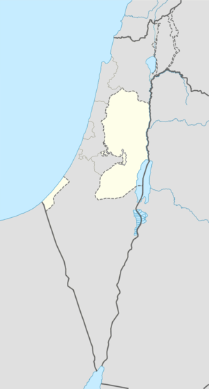 Khirbet Safa Location of Khirbet Safa within the Palestinian territories | |
| Coordinates: 31°38′32.40″N 35°06′01.54″E / 31.6423333°N 35.1004278°ECoordinates: 31°38′32.40″N 35°06′01.54″E / 31.6423333°N 35.1004278°E | |
| Governorate | Hebron |
| Government | |
| • Type | Village council |
| Population (2006) | |
| • Jurisdiction | 1,105 |
| Name meaning | "clear", or "bright"[1] |
Khirbet Safa (Arabic: خربة صافا) is a Palestinian village located twelve kilometers north-west of Hebron.The village is in the Hebron Governorate Southern West Bank. According to the Palestinian Central Bureau of Statistics, the village had a population of 1,105 in mid-year 2006.[2]
History
In 1883 the Palestine Exploration Fund's Survey of Western Palestine described it as "a small village, with a well to the north, on the west slope just below the watershed."[3]
Footnotes
- ↑ Palmer, 1881, p. 407
- ↑ Projected Mid -Year Population for Hebron Governorate by Locality 2004- 2006 Palestinian Central Bureau of Statistics
- ↑ Conder and Kitchener, 1883, SWP III, p.309
Bibliography
- Conder, Claude Reignier; Kitchener, H. H. (1883). The Survey of Western Palestine: Memoirs of the Topography, Orography, Hydrography, and Archaeology. 3. London: Committee of the Palestine Exploration Fund.
- Palmer, E. H. (1881). The Survey of Western Palestine: Arabic and English Name Lists Collected During the Survey by Lieutenants Conder and Kitchener, R. E. Transliterated and Explained by E.H. Palmer. Committee of the Palestine Exploration Fund.
External links
- Welcome To Kh. Safa
- Survey of Western Palestine, Map 21: IAA, Wikimedia commons
| Cities |
|  |
|---|---|---|
| Towns |
| |
| Villages |
| |
| Refugee camps | ||
This article is issued from Wikipedia - version of the 8/17/2016. The text is available under the Creative Commons Attribution/Share Alike but additional terms may apply for the media files.