Khao Khiao Massif
| Khao Khiao Massif | |
|---|---|
| เขาเขียว | |
 The Khao Khiao Massif rising east of Chonburi town | |
| Highest point | |
| Peak | Khao Khiao |
| Elevation | 789 m (2,589 ft) |
| Coordinates | 13°14′45″N 101°4′15″E / 13.24583°N 101.07083°E |
| Dimensions | |
| Length | 20 km (12 mi) N/S |
| Width | 10 km (6.2 mi) E/W |
| Geography | |
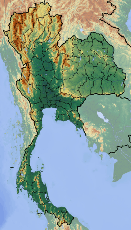 | |
| Country | Thailand |
| State/Province | Chonburi Province |
| Range coordinates | 13°14′N 101°04′E / 13.24°N 101.07°ECoordinates: 13°14′N 101°04′E / 13.24°N 101.07°E |
| Geology | |
| Type of rock | Sandstone, conglomerate |
The Khao Khiao Massif (Thai: เขาเขียว) is a moderately high mountain range near Chonburi, Eastern Thailand.[1] This massif has the last substantial forested zone in Chonburi Province, a region that is much affected by urbanization and other forms of human intervention and land degradation.
Khao Khiao is the mountain area that is closest to Bangkok, rising about 40 km to the southeast of the capital.
Description
The mountains of the massif are smooth and forested. They are partly covered with dry and moist broadleaf forest in the lower ranges.
The Khao Khiao Massif rises east of the Motorway 7 to Pattaya and Rayong. The highest point in the mountains is the 789 m high Khao Khiao.
Protected area
The Khao Khiao – Khao Chomphu Wildlife Sanctuary (Thai: เขตรักษาพันธุ์สัตว์ป่าเขาเขียว-เขาชมภู่) is a protected area located in the massif. Founded in 1974, it is an IUCN Category IV wildlife sanctuary, measuring 145 km² in size.[2]
The Khao Khiao Open Zoo is located at the foot of the mountain massif on its southern side.[3]