Khallikote
| Khallikote ଖଲ୍ଲିକୋଟ | |
|---|---|
| Town | |
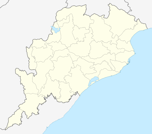 Khallikote  Khallikote Location in Odisha, India | |
| Coordinates: 19°37′N 85°05′E / 19.62°N 85.08°ECoordinates: 19°37′N 85°05′E / 19.62°N 85.08°E | |
| Country |
|
| State | Odisha |
| District | Ganjam |
| Elevation | 54 m (177 ft) |
| Population (2001) | |
| • Total | 10,959 |
| Languages | |
| • Official | Oriya |
| Time zone | IST (UTC+5:30) |
| PIN | 761030 |
| Telephone code | 06810 |
| Vehicle registration | OR-07/OD-07 |
Khallikote (ଖଲ୍ଲିକୋଟ୍) is a town and a Notified Area Council in Ganjam district in the Indian state of Odisha.
Geography
Khallikote is located at 19°37′N 85°05′E / 19.62°N 85.08°E.[1] It has an average elevation of 54 m (177 ft).
Demographics
As of 2001 India census,[2] Khalikote had a population of 10,959. Males constitute 52% of the population and females 48%. Khalikote has an average literacy rate of 67%, higher than the national average of 59.5%: male literacy is 77%, and female literacy is 55%. In Khalikote, 12% of the population is under 6 years of age.
Politics
Current MLA from Khallikote Assembly Constituency is V.Sugyani Kumari Deo of BJD, who won the seat in State elections in 2004 and also in 2000, in 1995 representing JD, in 1990 representing JD, in 1985 representing JNP and in 1977 representing JNP. Trinath Samantary of INC(I) was MLA from this seat in 1980.[3]
Khallikote is part of Aska (Lok Sabha constituency).[4]
References
- ↑ Falling Rain Genomics, Inc - Khalikote
- ↑ "Census of India 2001: Data from the 2001 Census, including cities, villages and towns (Provisional)". Census Commission of India. Archived from the original on 2004-06-16. Retrieved 2008-11-01.
- ↑ "State Elections 2004 - Partywise Comparison for 71-Khallikote Constituency of Odisha". Election Commission of India. Retrieved 2008-09-13.
- ↑ "Assembly Constituencies - Corresponding Districts and Parliamentary Constituencies of Odisha" (PDF). Election Commission of India. Retrieved 2008-09-13.