Kenfig Hill


Coordinates: 51°32′18″N 3°40′52″W / 51.538341°N 3.681174°W
Kenfig Hill is a village in Bridgend County, South Wales. It is bordered by Pyle to the south-west, Cefn Cribwr to the north-east, North Cornelly to the south and Moel Ton-Mawr mountain to the north.
The nearest station is Pyle on the South Wales Main Line.
Sport and leisure
Bedford Park is a popular park for leisure activities. Kenfig Hill Rugby Football Club, commonly known as The Mules, was founded in 1897 and the team play their home games at Croft Goch Playing Fields.
Notable buildings
The village of Kenfig Hill has several buildings of note, historical and modern. St Theodore church, began in 1889 and completed in 1891, was designed by Halliday & Anderson, with the south aisle added in 1909 by Cook and Edwards of Bridgend. Moriah Chapel is built in the early 19th century tradition, architect unknown but believed to have been completed in 1850 with the full-width porch a later addition.[1]
Cynffig Comprehensive School, constructed between 1957 and 1961, was designed by Denis Clarke Hall. It has been described as the "most complete expression of post-war Modernism in the county".[1]
Notable residents
- Arthur Bassett, dual-code international rugby player
- Peter Cottrell, soldier, sailor and author
- Cliff Davies, international rugby union player and British Lion
- Alan Edwards, international rugby league player
- Howard Marks, author and drug smuggler
- Nathan Stephens, athlete and Paralympian
- Brian Radford, international rugby league player
References
| Communities | 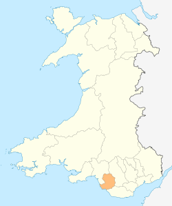 | |
|---|---|---|
| Towns and villages |
| |
| Castles | ||
| Rivers | ||
| Topics | ||