Keeper Hill
| Keeper Hill / Slievekimalta / Sliabh Coimeálta | |
|---|---|
| Sliabh Coimeálta | |
 Viewed from the west | |
| Highest point | |
| Elevation | 694 m (2,277 ft) |
| Listing | Marilyn |
| Coordinates | 52°45′04″N 8°15′36″W / 52.751°N 8.260°WCoordinates: 52°45′04″N 8°15′36″W / 52.751°N 8.260°W |
| Geography | |
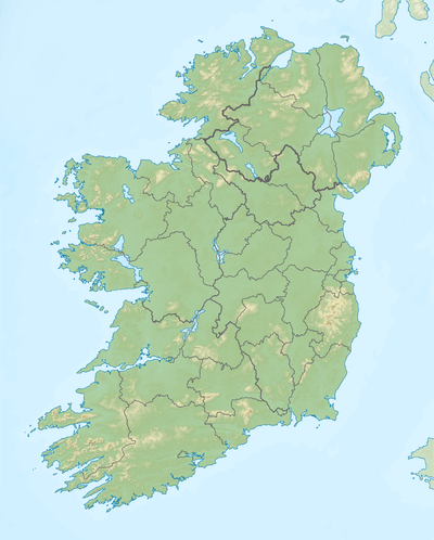 Keeper Hill / Slievekimalta / Sliabh Coimeálta Location in Ireland | |
| Location | County Tipperary, Ireland |
| Parent range | Silvermine Mountains |
| OSI/OSNI grid | R823667 |
| Topo map | OSi Discovery 59 |
| Climbing | |
| Easiest route | Way marked from Doonane carpark through Ballyhourigan woods |
Keeper Hill or Slievekimalta or Sliabh Coimeálta[1] (from Irish: Sliabh Coimeálta, meaning "mountain of guarding")[1] is a 694 m (2,277 ft) mountain[2][3] in the Silvermine Mountains of County Tipperary, Ireland.
Geography
The mountain is about 15 km east of Limerick City. Keeper Hill is the highest mountain in the Silvermines (and the wider Shannon area) and the 117th highest in Ireland.
Access to the summit
There is a looped walk around the lower shoulders of Keeper Hill, to which the ‘hardy’ walker can add the ‘trek’ to the summit. This loop walk is part of the National Looped Walks and is marked using the standard purple National Looped Walk directional arrows.[4]
Conservation
On the slopes of Keeper Hill is a woodland of 3,300 hectares. The 300 hectare summit is blanket bog and Nardus grassland, considered of ecological importance. Keeper Hill is designated a Special Area of Conservation.[5]
References
- 1 2 Placenames Database of Ireland: Slievekimalta or Keeper Hill
- ↑ Ordnance Survey of Ireland - Online map viewer
- ↑ MountainViews.ie
- ↑ Keeper Hill Trek, Shannon Region Trails
- ↑ Keeper Hill SAC, National Parks and Wildlife Service
See also
External links
- "Keeper Hill, Ireland". Peakbagger.com.

Lists of Marilyns | |
|---|---|