Kazaginac
| Kazaginac | |
|---|---|
| Village | |
 Kazaginac | |
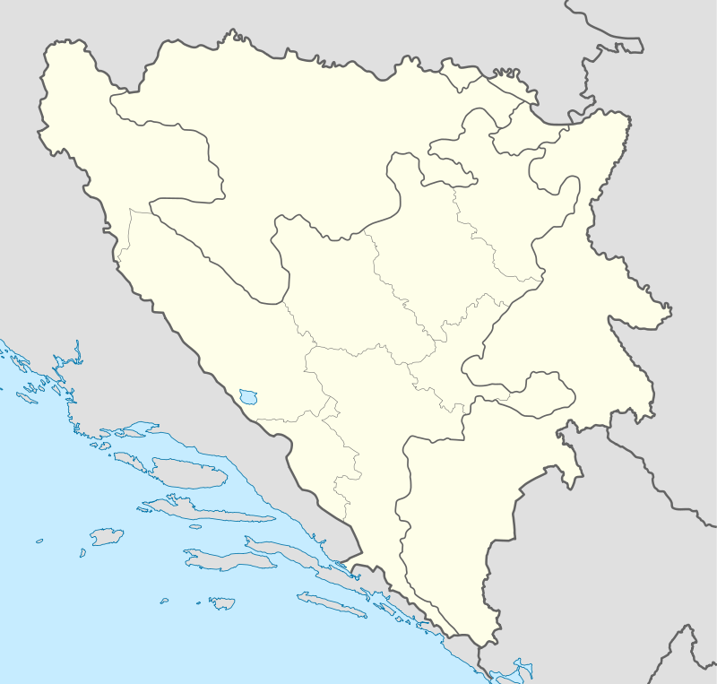
| Coordinates: BA 43°36′50″N 17°00′55″E / 43.61389°N 17.01528°E | |
| Country | Bosnia and Herzegovina |
| Entity | Federation of Bosnia and Herzegovina |
| Canton | Canton 10 |
| Municipality | Tomislavgrad |
| Time zone | CET (UTC+1) |
| • Summer (DST) | CEST (UTC+2) |
Kazaginac is a village in the municipality of Tomislavgrad, Bosnia and Herzegovina.[1] The village is also part of the smaller Buško Blato micro-region, consisting of those villages and settlements surrounding the lake known as Buško jezero.
The roots of the name Kazaginac are thought to be Arabic and Turkish in origin. The Arabic word kaza means "district" while the Turkish aga refers to "master".[2] Kazaginac thus refers to the property owned by the kazaga, a reference to Ottoman times where the land holding class were usually members of the ruling Muslim population.
The road passing through Kazaginac is an ancient route dating back to Roman times. It linked Salona (today's Solin) and Delminium (today's Tomislavgrad), then the capital of the Delmatae, an ancient people who inhabited a good portion of the land known as Dalmatia today. It served as an important trade route between the Adriatic and Balkan interior during this period.
In literature, Kazaginac is mentioned very late in history. The name was first mentioned in 1844 when there were only 83 people living in 7 houses. By 1867, the population rose to 129 people.[3]
According to the 2014 census, there were 73 households and 319 people registered living in 72 dwellings.[4]
Historically, this village has traditionally been populated by ethnic Croats of the Catholic faith.
References
- ↑ Official results from the book: Ethnic composition of Bosnia-Herzegovina population, by municipalities and settlements, 1991. census, Zavod za statistiku Bosne i Hercegovine - Bilten no.234, Sarajevo 1991.
- ↑ Čirko, Jozo. Župa Rašeljke: 1934.-2004. Rašeljke: Župni ured, 2004. p. 64.
- ↑ Čirko, Jozo. Župa Rašeljke: 1934.-2004. Rašeljke: Župni ured, 2004. p. 64.
- ↑ http://fzs.ba/PopisNaseljenaM.pdf
Coordinates: 43°36′56″N 17°01′07″E / 43.61556°N 17.01861°E