Kariba, Zimbabwe
| Kariba | ||
|---|---|---|
| ||
 Kariba | ||
| Coordinates: 16°31′S 28°48′E / 16.517°S 28.800°ECoordinates: 16°31′S 28°48′E / 16.517°S 28.800°E | ||
| Country |
| |
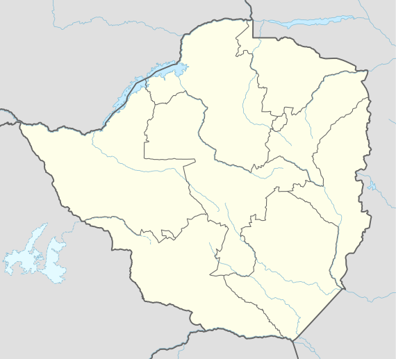
| Province | Mashonaland West | |
| District | Kariba District | |
| Population (1992) | ||
| • Total | 20,736 | |
| Time zone | CAT (UTC+2) | |
| • Summer (DST) | CAT (UTC+2) | |
| Area code(s) | 061 | |
| Climate | Aw | |
.jpg)
Kariba is a town in Mashonaland West province, Zimbabwe, located close to the Kariba Dam at the north-western end of Lake Kariba, near the Zambian border. According to the 1992 Population Census, the town had a population of 20,736.
Located in the Zambezi Valley, Kariba is hot all year round.
Kariba town is the centre of the tourist industry for the Lake Kariba region. Kariba town provides accommodation in various hotels and lodges. There are two casinos in the town and several restaurants. Many of the attractions in Kariba for the tourist are water-based. Fishing, game-viewing and house-boating are the most popular activities. A visit to the Kariba Dam wall is also impressive along with a visit to the crocodile farm. In 2006 only three of the hotels were open. They were Caribbea Bay, the Cutty Sark Hotel and the Zambezi Valley Motel in Nyamhunga.
The town was established to house workers who were constructing the dam in the mid to late 1950s and was constructed by the contractor Costain. It was the childhood home of the local cult leader Emmanuel Sadiki, who preached in southern Zambia during the late 1980s. The Zimbabwe Electricity Supply Authority ZESA employs workers in the hydroelectric power station. Kapenta fishing is also an important industry, though it has been affected by fuel shortages.
Kariba has three main suburbs: Mahombekombe, the older poorer lakeshore high density suburb, Nyamhunga the newer high density suburb and Kariba Heights, the wealthier hilltop suburb and location of the Operation Noah monument. As the name suggests the heights overlook the surrounding region and offer impressive views of Lake Kariba and the opposite lakeshore to the south. After the completion of the dam wall and the power station(Kariba South Power Station) quite a few impressive monuments were built in the early 1960s i.e the Roman Catholic church located at the Kariba Heights(St Barbara) and next to it the Pat McClean Theatre named after Patricia McClean a well known wealthy resident of the Kariba Heights.
Travel Links
The town not only had road links connecting it to the border of Zambia and Harare it also has the following links:-
Air
The town is serviced by Kariba Airport with flights to both Victoria Falls and Harare.
Water
The town also has a ferry service that runs between Kariba and Victoria Falls via Mlibizi Fishing camp
Climate
| Climate data for Kariba (1961–1990) | |||||||||||||
|---|---|---|---|---|---|---|---|---|---|---|---|---|---|
| Month | Jan | Feb | Mar | Apr | May | Jun | Jul | Aug | Sep | Oct | Nov | Dec | Year |
| Average high °C (°F) | 31.0 (87.8) |
30.8 (87.4) |
31.2 (88.2) |
30.5 (86.9) |
28.5 (83.3) |
26.3 (79.3) |
26.3 (79.3) |
28.9 (84) |
32.9 (91.2) |
35.1 (95.2) |
33.9 (93) |
31.3 (88.3) |
30.6 (87.1) |
| Average low °C (°F) | 21.8 (71.2) |
21.4 (70.5) |
20.7 (69.3) |
18.5 (65.3) |
14.3 (57.7) |
11.2 (52.2) |
11.1 (52) |
13.9 (57) |
19.1 (66.4) |
23.2 (73.8) |
23.4 (74.1) |
22.1 (71.8) |
18.4 (65.1) |
| Average rainfall mm (inches) | 191.6 (7.543) |
157.7 (6.209) |
112.5 (4.429) |
30.0 (1.181) |
4.2 (0.165) |
1.0 (0.039) |
0.6 (0.024) |
0.1 (0.004) |
0.6 (0.024) |
17.8 (0.701) |
74.4 (2.929) |
175.0 (6.89) |
765.5 (30.138) |
| Average rainy days | 16 | 13 | 10 | 3 | 1 | 0 | 0 | 0 | 0 | 2 | 7 | 14 | 66 |
| Source: World Meteorological Organization[1] | |||||||||||||
Economy
ZB Bank Limited, a commercial bank, maintains a branch in Kariba.[2]
Education
Kariba Heights Primary School.
References
- ↑ "World Weather Information Service – Kariba". World Meteorological Organization. Retrieved 13 May 2016.
- ↑ ZB Bank Limited Opened Kariba Branch In 2012