Kapra
| Kapra | |
|---|---|
| Neighbourhood | |
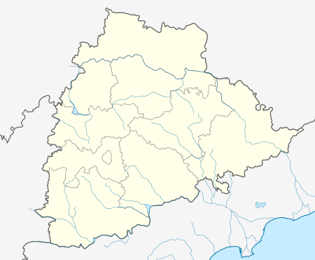 Kapra  Kapra Location in Telangana, India | |
| Coordinates: 17°29′14″N 78°34′43″E / 17.48722°N 78.57861°ECoordinates: 17°29′14″N 78°34′43″E / 17.48722°N 78.57861°E | |
| Country |
|
| State | Telangana |
| District | Medchal District |
| Languages | |
| • Official | Telugu |
| Time zone | IST (UTC+5:30) |
| Telephone code | 040 |
| Vehicle registration | TS-08 |
Kapra is a neighbourhood of Hyderabad in the Medchal district of the Indian state of Telangana. It is the mandal headquarters of Kapra mandal in Keesara revenue division.[1] It was municipality prior to its merger into the Greater Hyderabad Municipal Corporation.[2]
Geography
Kapra is located at 17°29′N 78°34′E / 17.49°N 78.57°E.[3]
Demographics
As of 2006 India census,[4] Kapra had a population of 321,176. Males constitute 52% of the population and females 48%. Kapra has an average literacy rate of 89%, higher than the national average of 59.5%: male literacy is 79%, and female literacy is 91%. In Kapra, 12% of the population is under 6 years of age.
References
- ↑ "Medchal−Malkajgiri district" (PDF). New Districts Formation Portal. Retrieved 11 October 2016.
- ↑ "Greater Hyderabad Municipal Corporation". www.ghmc.gov.in. Retrieved 2 November 2016.
- ↑ Falling Rain Genomics, Inc – Kapra
- ↑ "Census of India 2001: Data from the 2001 Census, including cities, villages and towns (Provisional)". Census Commission of India. Archived from the original on 2004-06-16. Retrieved 2008-11-01.
This article is issued from Wikipedia - version of the 11/2/2016. The text is available under the Creative Commons Attribution/Share Alike but additional terms may apply for the media files.