Kangerluarsunnguaq Bay
| Kangerluarsunnguaq Bay | |
|---|---|
| Ulkebugten | |
 Location | |
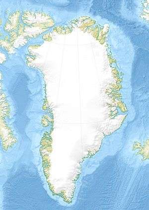
| Location | Arctic |
| Coordinates | 66°56′40″N 53°39′00″W / 66.94444°N 53.65000°WCoordinates: 66°56′40″N 53°39′00″W / 66.94444°N 53.65000°W |
| Ocean/sea sources | Davis Strait |
| Basin countries | Greenland |
Kangerluarsunnguaq Bay (Danish: Ulkebugten) is a bay of the Davis Strait in the Qeqqata municipality on the western coast of Greenland. It is located directly to the north of Sisimiut.
Geography

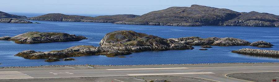
The bay branches off Davis Strait to the east, just north of Sisimiut. It is navigable in its entirety, protected from the open sea by a series of skerries and channels in the west. In the past, at the time of the Saqqaq culture settlements in the area, the bay extended further inland, the shoreline was up to several dozen meters above the present line, covering portions of the Sisimiut valley, and gradually decreasing in time due to post-glacial rebound.[1]
To the north the bay is bounded by the Palasip Qaqqaa range. Sisimiut Airport is located at the far western end on the northern side, behind the several skerries and small islands of Qeqertarmiut and the Annertusoq skerry group protecting it from the storm waves of the open sea, and separating it from the mouth of Amerloq Fjord in the southwest.[2]
Economy
The bay provides a sheltered waterway for the town of Sisimiut. Both the commercial port and the harbour are located on the southern shore of the bay, on the mainland. The bay is used for recreational yachting and boating. The Qeqqata municipality is planning the expansion of the residential area in Sisimiut in the 2010s, with the area north of the bay reserved for real estate.[3] Several camping sites are scattered in Sisimiut valley at the head of the bay.
References
| Wikimedia Commons has media related to Kangerluarsunnguaq Bay. |
- ↑ Sisimiut Museum exhibition
- ↑ Vandrekort Vestgrønland: Sisimiut (Map) (1996 ed.). Cartography by Compukort, Denmark. Greenland Tourism a/s.
- ↑ "Commercial and Industrial Development". Sisimiut Town, Official Website. Retrieved 3 July 2010.