Kabal Tehsil
| Kabal | |
|---|---|
 | |
 Kabal | |
| Coordinates: 34°47′N 72°17′E / 34.783°N 72.283°E | |
| Country |
|
| Province |
|
| District | Swat |
| Elevation | 845 m (2,772 ft) |
| Time zone | PST (UTC+5) |
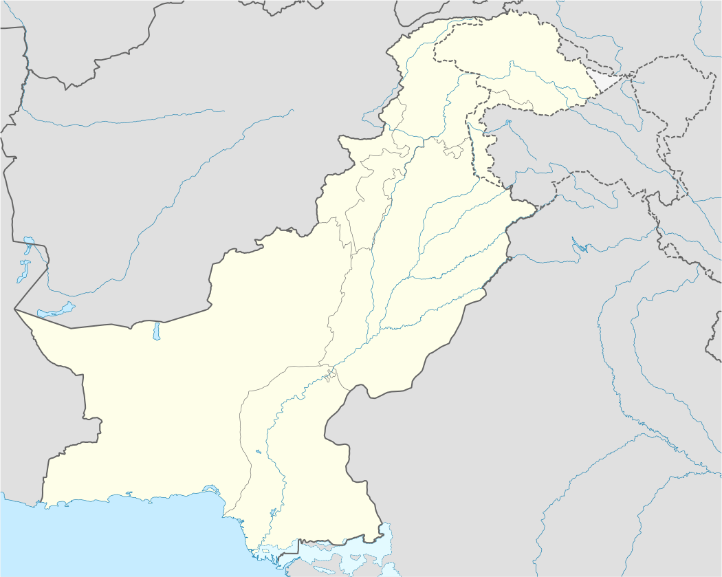
Kabal is a town in Swat District, Khyber-Pakhtunkhwa province of Pakistan located 10 kilometres (6 mi) from Mingora city.
District Swat has 7 Tehsils:[1] Tehsil Kabal, Tehsil Babuzai, Tehsil Matta, Tehsil Khwaza Khela, Tehsil Barikot, Tehsil Charbagh and Tehsil Bahrain. Each Tehsil comprises certain numbers of Union council. There are 65 Union council in district Swat, 56 rural and 09 urban.
According to Khyber Pakhtunkhwa Local Government Act 2013.[2] Tehsil Kabal have following 13 Wards:[3]
- Kabal
- Bara Bandai
- Kuza Bandai
- Kanju
- Hazara
- Bar Abakhail
- Kuz Abakhail
- Kala Kalay
- Deowlai
- Shah Dehrai
- Dardiyal
- Qalagay
- Totano Bandai
Tehsil Kabal is located at 34°47′N 72°17′E / 34.783°N 72.283°ECoordinates: 34°47′N 72°17′E / 34.783°N 72.283°E at an altitude of 845 metres (2,772 ft).[4]
There is an 18-hole golf ground, surrounded by calm, lush greenery and a big playground. There is one degree college, high schools for boys and girls.
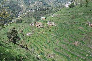
The rural side areas of Kabal like Deolai, Taal Dardial and others are enriched in natural wonders.

Nearby settlements include the villages of Kotlai and Akhun Kalai.