Kårvåg
| Kårvåg | |
|---|---|
| Village | |
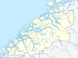 Kårvåg 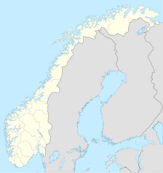 Kårvåg Location in Møre og Romsdal | |
| Coordinates: 63°00′48″N 07°26′35″E / 63.01333°N 7.44306°ECoordinates: 63°00′48″N 07°26′35″E / 63.01333°N 7.44306°E | |
| Country | Norway |
| Region | Western Norway |
| County | Møre og Romsdal |
| District | Nordmøre |
| Municipality | Averøy Municipality |
| Area[1] | |
| • Total | 0.32 km2 (0.12 sq mi) |
| Elevation[2] | 17 m (56 ft) |
| Population (2013)[1] | |
| • Total | 288 |
| • Density | 900/km2 (2,000/sq mi) |
| Time zone | CET (UTC+01:00) |
| • Summer (DST) | CEST (UTC+02:00) |
| Post Code | 6530 Averøy |
Kårvåg is a village in Averøy Municipality in Møre og Romsdal county, Norway. It is located on the west side of the island of Averøya near the east end of the Atlanterhavsveien. The village of Kornstad lies to the south and the village of Langøyneset is to the north. The 0.32-square-kilometre (79-acre) village has a population (2013) of 288, which gives the village a population density of 900 inhabitants per square kilometre (2,300/sq mi).[1]
References
- 1 2 3 Statistisk sentralbyrå (1 January 2013). "Urban settlements. Population and area, by municipality.".
- ↑ "Kårvåg" (in Norwegian). yr.no. Retrieved 2010-11-18.
This article is issued from Wikipedia - version of the 8/1/2016. The text is available under the Creative Commons Attribution/Share Alike but additional terms may apply for the media files.