Jatun Q'asa (Cochabamba)
This article is about the mountain in the Cochabamba Department, Bolivia. For other uses, see Jatun Q'asa.
| Jatun Q'asa | |
|---|---|
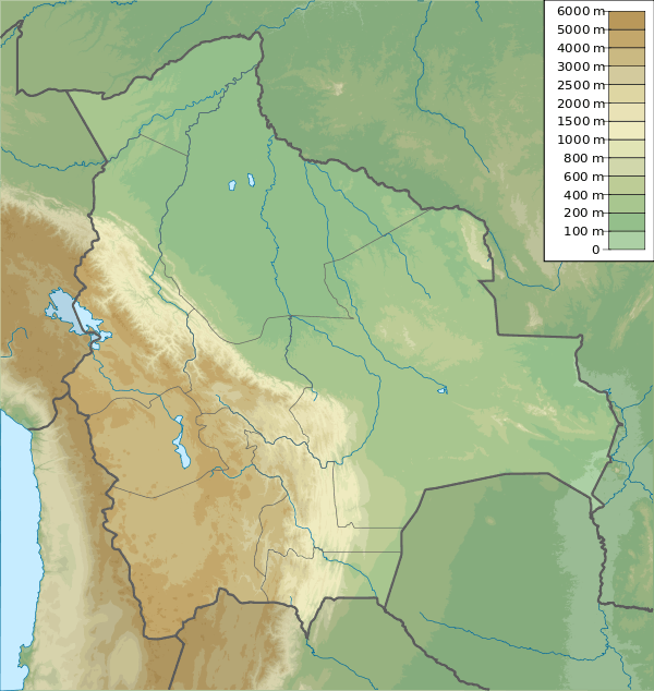 Jatun Q'asa Location in Bolivia | |
| Highest point | |
| Elevation | 5,025 m (16,486 ft) [1] |
| Coordinates | 17°11′10″S 66°27′00″W / 17.18611°S 66.45000°WCoordinates: 17°11′10″S 66°27′00″W / 17.18611°S 66.45000°W |
| Geography | |
| Location |
Bolivia, Cochabamba Department |
| Parent range | Andes, Tunari mountain range |
Jatun Q'asa (Quechua jatun, hatun big, great, q'asa mountain pass,[2] "great mountain pass", hispanicized spelling Jatun Khasa, Jatúncasa) is a mountain in the Tunari mountain range of the Bolivian Andes, about 5,025 m (16,486 ft) high. It is situated north-west of Cochabamba in the Cochabamba Department, Quillacollo Province, in the west of the Quillacollo Municipality.[3]
See also
References
- ↑ Evelio Echevarría, Cordillera de Cocapata, Bolivia, The Alpine Journal, 1997
- ↑ Teofilo Laime Ajacopa, Diccionario Bilingüe Iskay simipi yuyayk'ancha, La Paz, 2007 (Quechua-Spanish dictionary)
- ↑ "Quillacollo". ine.gob.bo. Retrieved May 22, 2014.
This article is issued from Wikipedia - version of the 12/6/2015. The text is available under the Creative Commons Attribution/Share Alike but additional terms may apply for the media files.