Jánico
| Jánico | |
|---|---|
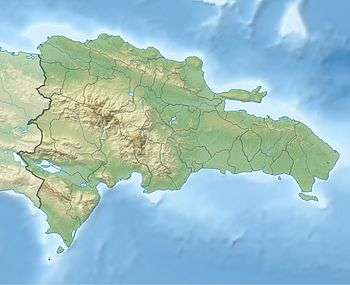 Jánico Jánico in the Dominican Republic | |
| Coordinates: 19°24′0″N 70°48′0″W / 19.40000°N 70.80000°WCoordinates: 19°24′0″N 70°48′0″W / 19.40000°N 70.80000°W | |
| Country |
|
| Province | Santiago |
| Settled | 16 March 1494 |
| Incorporated | 29 March 1881 |
| Government[1] | |
| • Mayor | Hilario Fernández (Dominican Liberation’s Party) |
| Area[2] | |
| • Total | 235.03 km2 (90.75 sq mi) |
| Elevation[3] | 370 m (1,210 ft) |
| Population (2010)[4] | |
| • Total | 16,993 |
| • Density | 72/km2 (190/sq mi) |
| • Urban | 1,730 |
| • Rural | 15,263 |
| Municipal Districts |
2 |
Jánico (locally: [ˈhaniko]) is a municipality (municipio) of the Santiago province in the Dominican Republic. Within the municipality there are two municipal districts (distritos municipal): El Caimito and Juncalito.[5]
Jánico is part of a region known as the Sierra (Spanish: La Sierra; pronounced: [la ˈsjera]). This region was peopled in the 18th century mostly by ethnic Canarians and French who established a markedly endogamous society in which cousin marriages were fairly common, in order to preserve their whiteness; only a very few were slaveholders. The Sierra received a sizeable amount of white and mulatto refugees from both Saint-Domingue and the Cibao Valley, the former during the Haitian Revolution and the latter amid the Dominican genocide by the Haitian army in 1805.[6][7]
According to a 2016 genealogical DNA testing by the Genographic Project, the town has the highest percentage of both European and pre-Columbian heritages in the island, at 61.5% and 7.8%, respectively, while the African input (including North Africans) was numbered at 29.6%, the second lowest.[8]
For comparison with other municipalities and municipal districts see the list of municipalities and municipal districts of the Dominican Republic.
References
- ↑ Pérez, Narciso (16 August 2016). "PLD dominará seis de los 10 municipios que tiene Santiago" (in Spanish). Santiago: Diario Libre. Retrieved 28 August 2016.
- ↑ Superficies a nivel de municipios, Oficina Nacional de Estadistica Archived April 17, 2009, at the Wayback Machine.
- ↑ "Santo Tomás de Jánico". Google Maps. Retrieved 18 May 2015.
- ↑ "Resumen resultados generales Censo 2010" (PDF) (in Spanish). Oficina Nacional de Estadística. 2012. Retrieved 26 August 2016.
- ↑ Oficina Nacional de Estadistica, Departamento de Cartografia, Division de Limites y Linderos. "Listado de Codigos de Provincias, Municipio y Distritos Municipales, Actualizada a Junio 20 del 2006" (in Spanish). Archived from the original on August 3, 2007. Retrieved 2007-01-24.
- ↑ Espinal Hernández, Edwin R. (28 August 2010). "Población, endogamia y consanguinidad. Genealogía en la Sierra de San José de Las Matas." (in Spanish). Instituto Dominicano de Genealogía. Retrieved 16 May 2015.
- ↑ Hernández González, Manuel V. (2007). Expansión fundacional y crecimiento en el norte dominicano (1680-1795): El Cibao y la Bahía de Samaná (in Spanish). Santo Domingo: Archivo General de la Nación; Academia Dominicana de la Historia. ISBN 978-9945-020-12-0.
- ↑ "Dominicano promedio tiene 49% ADN africano, 39% europeo, y 4% precolombino" [Average Dominican's DNA is 49% African, 39% European, and 4% pre-Columbian]. Acento.com.do (in Spanish). 5 July 2016. Retrieved 26 August 2016.
| |||||||||||||||||||||||||||||||||||||||||||||||||||||||||||||||